We made our way northwards to the tiny town of Page, Arizona (pop: 7,300), close to the border with Utah. The town was founded in 1957 to house workers for the construction of the Glen Canyon Dam – a major dam on the Colorado River.
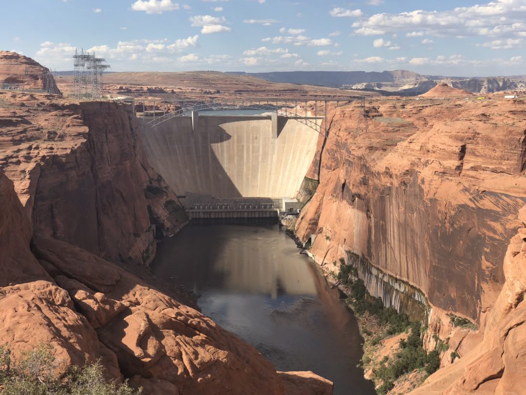
The dam was built to provide a reservoir for the growing population in the area and to generate electricity – it does both quite well. It creates the huge Lake Powell. But the dam also has an obvious impact on the environment, and being upstream of the Grand Canyon, that impact is very controversial. To some, it is the poster child of the environmental destruction that can be caused by dams. It is one of the last dams of its size to be built in the US.
We had come to Page to see two natural beauties – one involving a hike and the other involving photography. For the second time on this trip, Ella and I decided to divide and conquer.
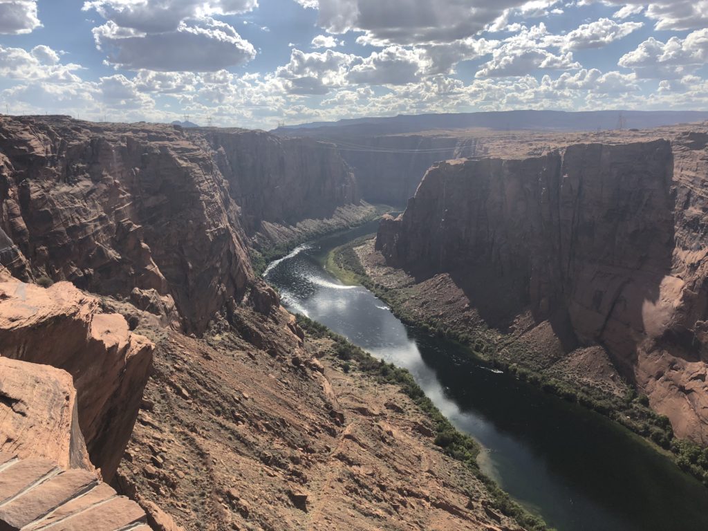
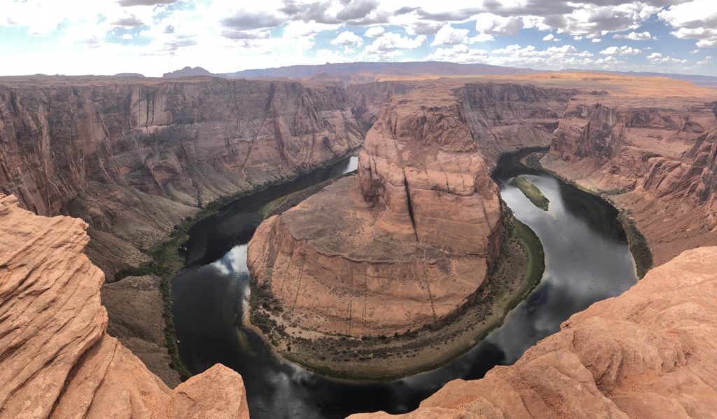
I took the hiking option, which involved a hike (more of a slow walk) to Horseshoe Bend – a 270 degree curve in the Colorado River. The orange rock is called Navajo Sandstone, composed of compressed packs of million-year-old sand dunes. When exposed, it doesn’t have the compression of its own weight to keep it together and water can slowly dissolve binding chemicals in the rock. Standing somewhat precariously on this exposed rock, you get an absolutely awesome view of the beautiful bend carved out by the river over the last few million years.
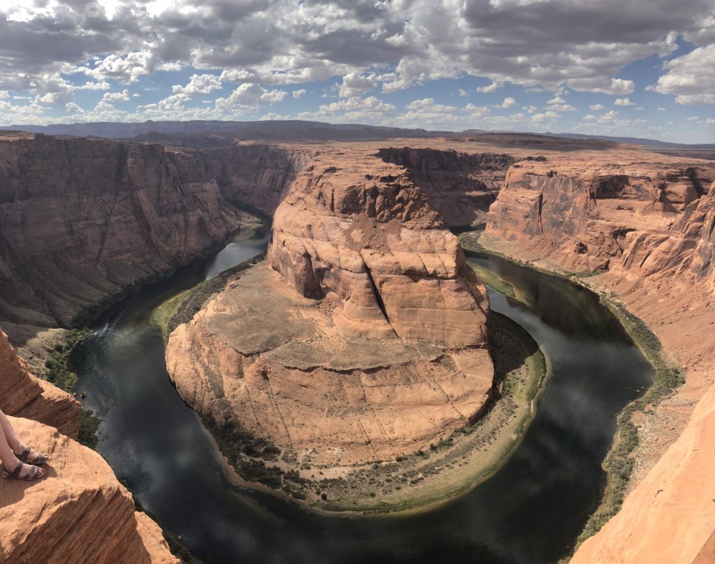
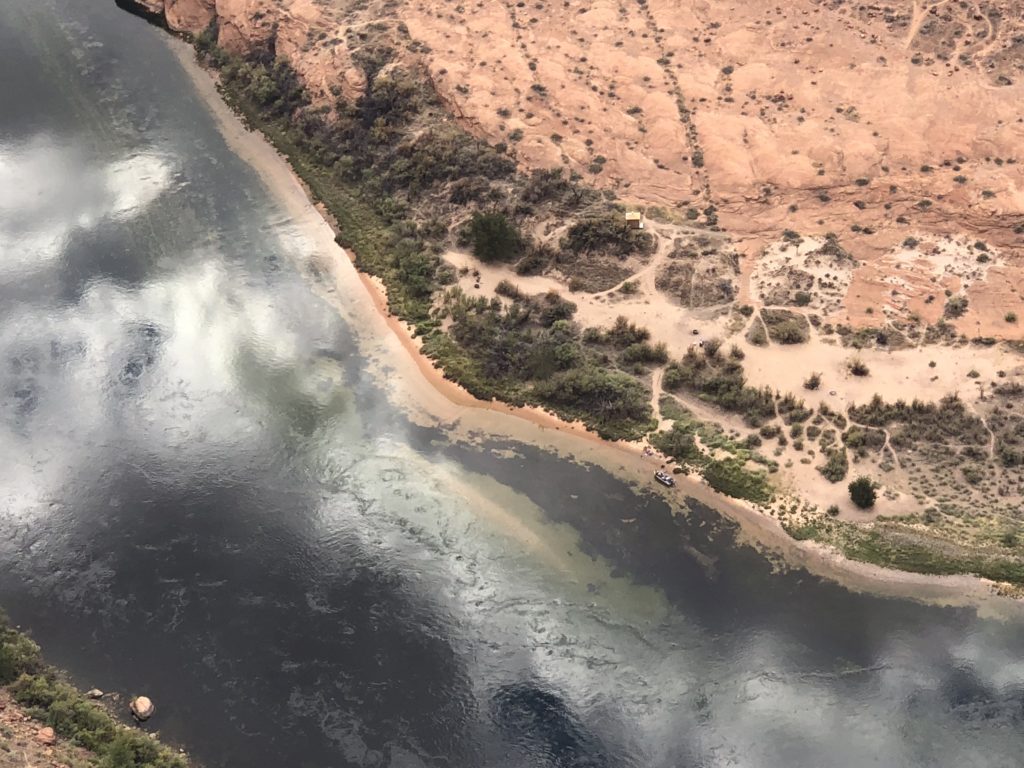
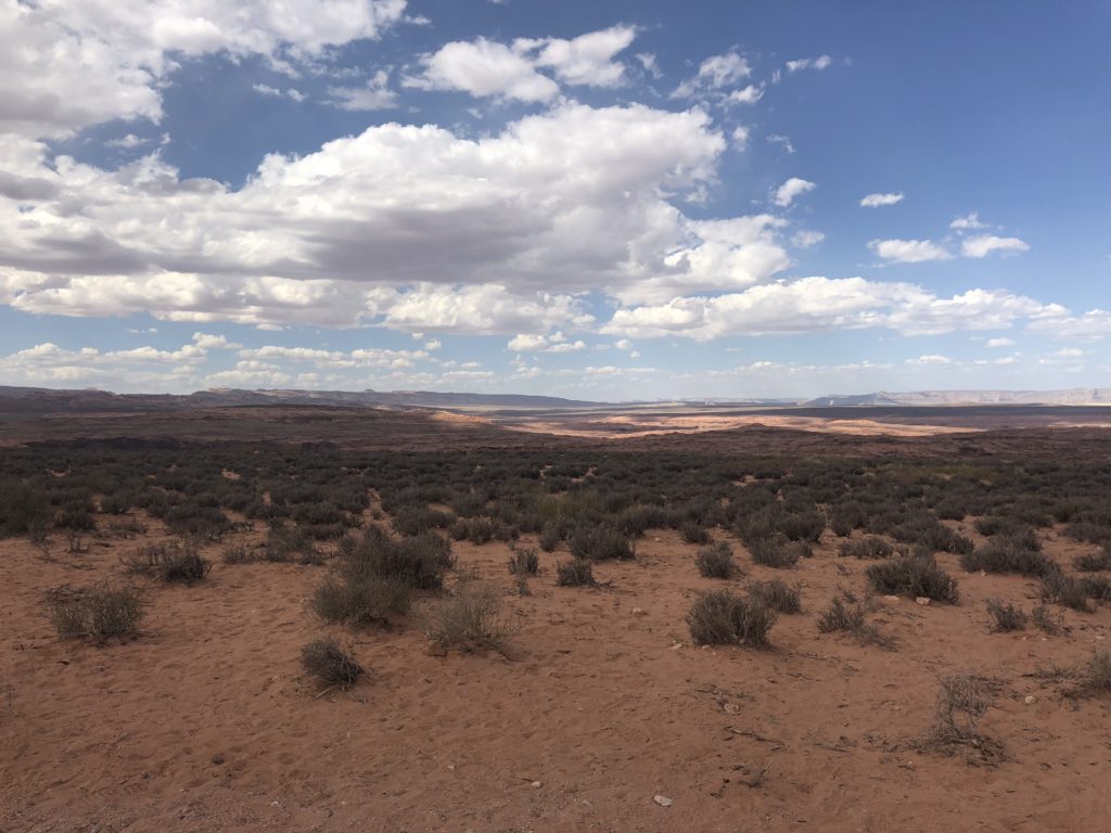
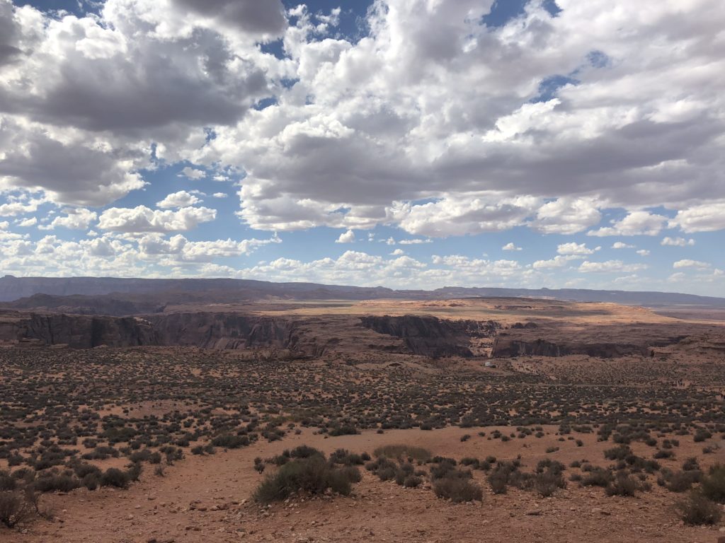
The hike was popular and not particularly taxing. In all directions, the northern Arizona landscape is quite something.
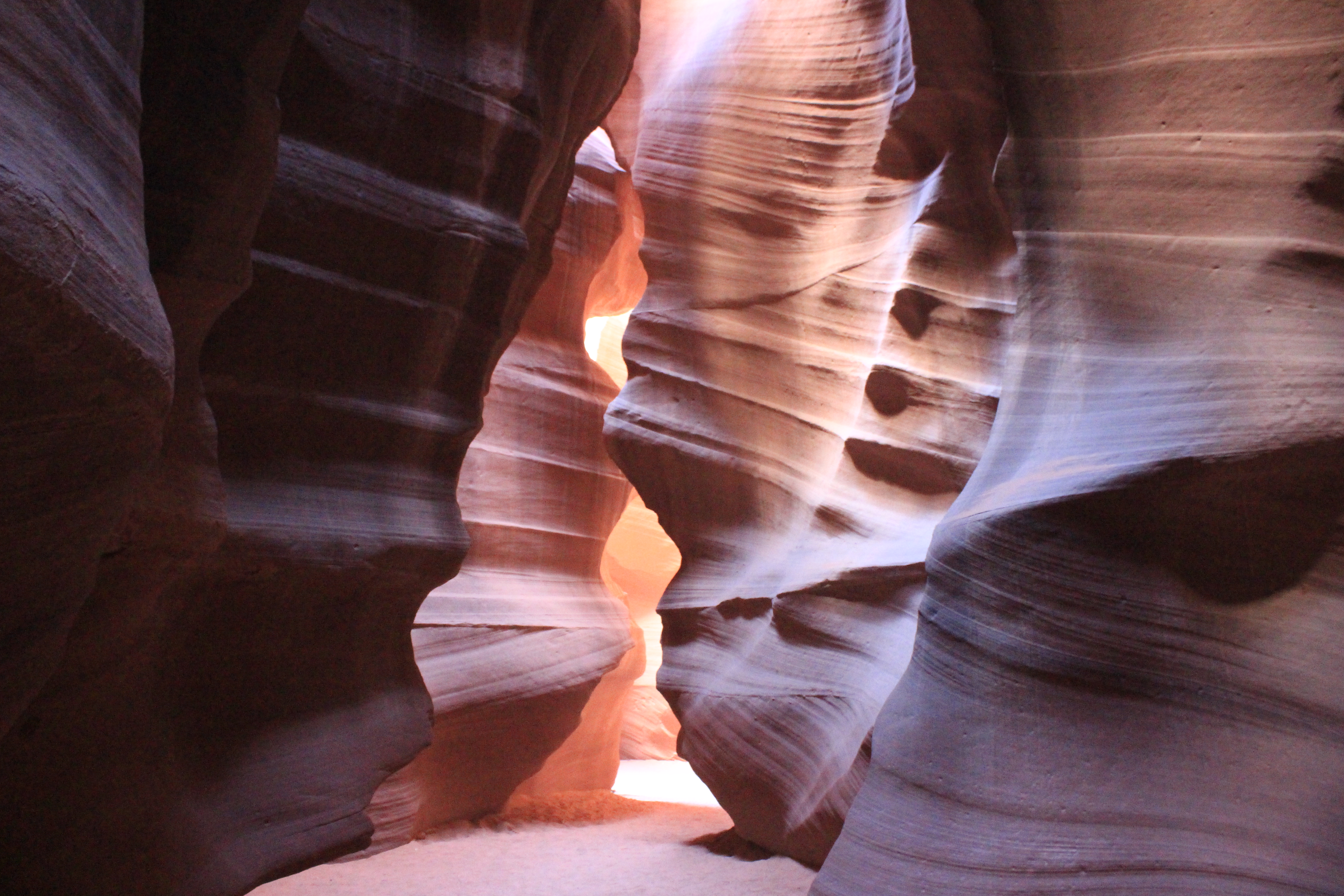
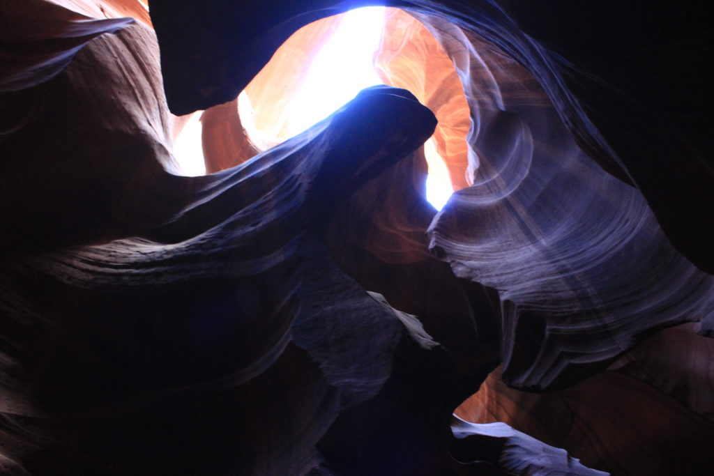
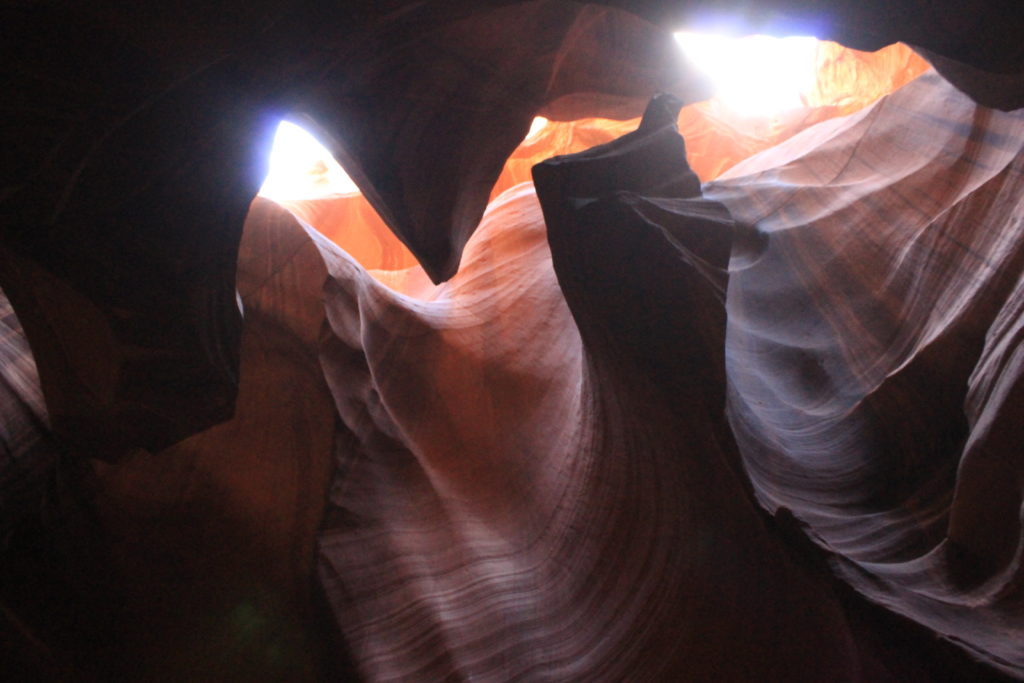
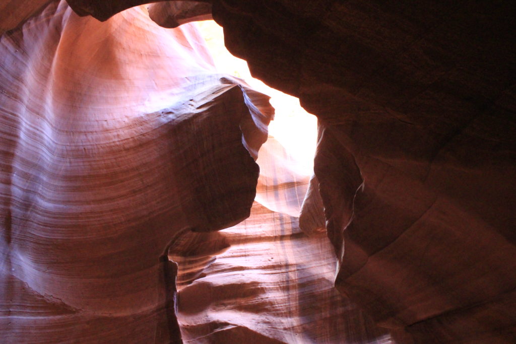
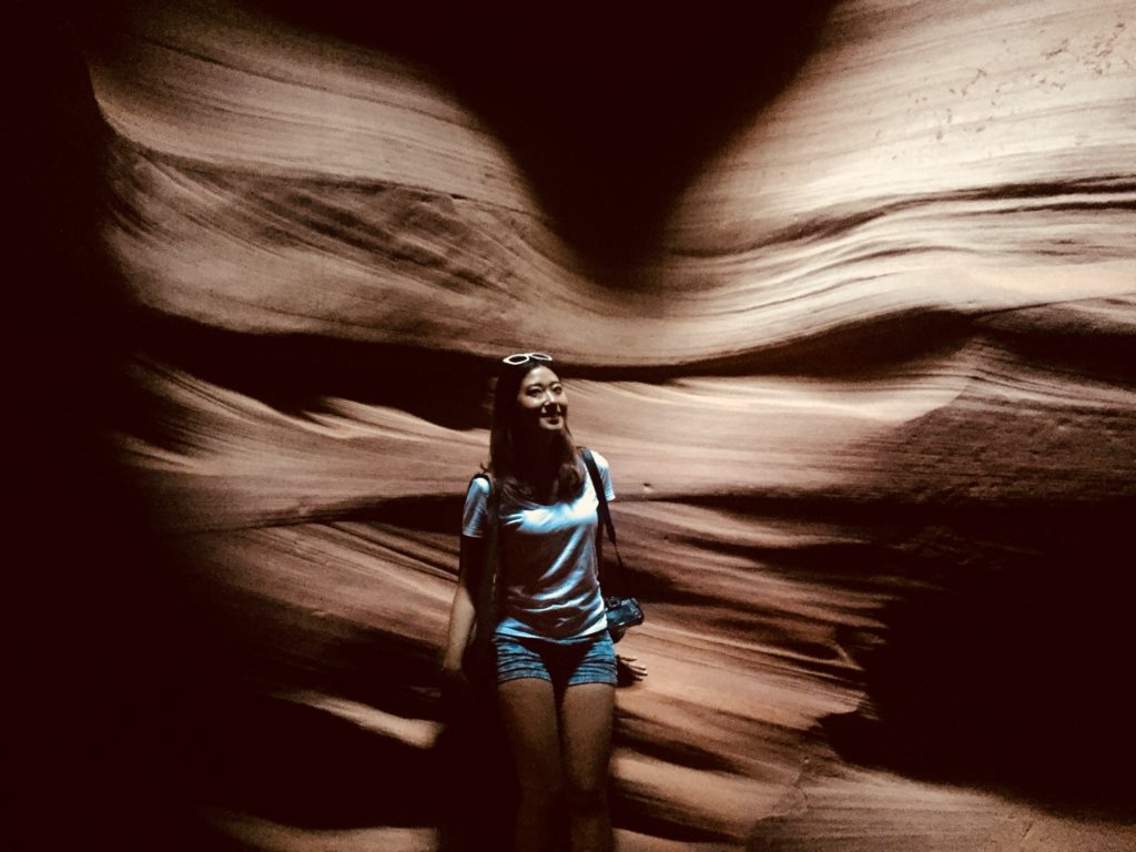
Meanwhile, Ella was exploring Antelope Canyon. It is on Navajo land – something I’ll chat about in the following post.The Navajo word for the site translates to “the place where water runs through rock”. An apt description. The narrow (or “slot”) canyon was formed primarily by regular flash floods that cut through the Navajo Sandstone, carving out a natural wonder. The light filtering down into the canyon creates some incredibly photogenic scenes.
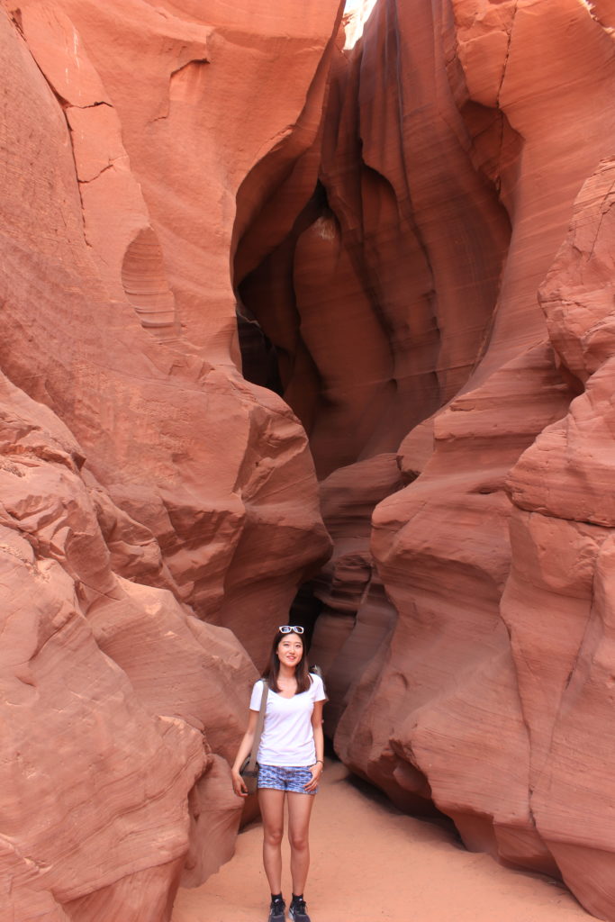
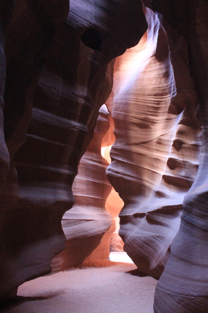
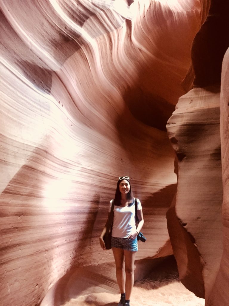
Tours of the canyon began in the late 1990s, and tourist flow is tightly regulated by the Navajo Nation. Because of the narrowness of the canyon, the tour is kept at a good pace. The tour guides all seemed like photographic experts, informing tourists what setting to use for each popular phone/camera in different parts of the canyon. Ella was in her element and the results are awesome.
We then continued eastward into the Navajo Nation…

