Omaha – Somewhere in Middle America

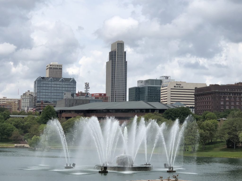
We rolled across the Missouri River into Omaha, Nebraska’s largest city (pop: almost a million). It’s nicknamed the ‘Gateway to the West’ and seems positioned slap-bang in the middle of the country. In fact, Nebraska is the only “triple landlocked” state, meaning that you have to travel through three other states before you can reach an ocean or sea. Omaha’s central position is a distinct advantage, resulting in it becoming an important transportation hub. The giant Union Pacific Rail Road started out of Omaha, heading westward to the Pacific. The company remains headquartered here and forms a powerful duopoly with…

Continue ReadingOmaha – Somewhere in Middle America

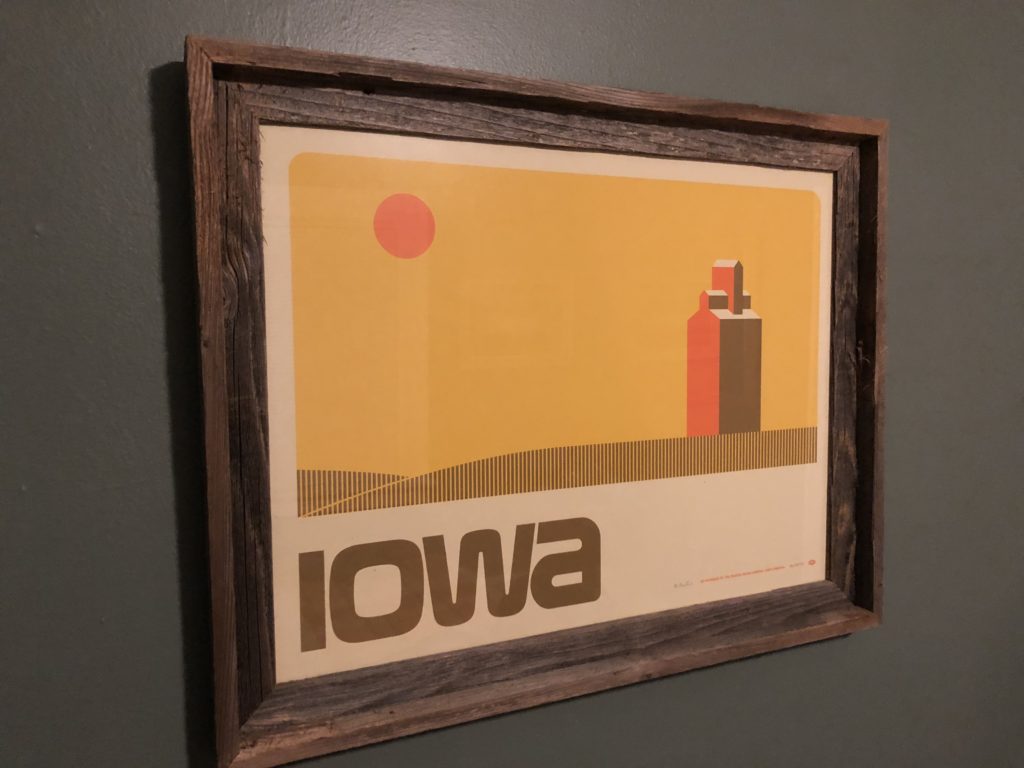
Iowa – A Field of Dreams

For the last few weeks, we had been meandering through the "Midwest". What is this? Well, it turns out to be a pretty dumb name for the central northern states. The US has four census regions - the West, the South, the Northeast, and the states in the central northern area called the Midwest. This region is actually further broken down into the states that make up the Great Lakes (Illinois, Ohio, Michigan, Indiana, Wisconsin, Minnesota; hosting the bulk of the Midwest's population) and the Great Plains (Iowa, Missouri, Kansas, Nebraska, and the two Dakotas). Driving west out of Chicago,…

Continue ReadingIowa – A Field of Dreams

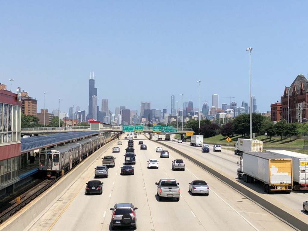
Chicago – the Windy City

We drove from Columbus through western Ohio, Indiana and into Illinois. Our destination: the mighty Chicago. I didn't really know what to expect from the nation's third largest city, but it honestly blew me away. It's one of the most photogenic cities I've visited. Here are a few of the reasons. Public art: This is "Cloud Gate" or more commonly known as "the bean", a large stainless-steel structure by a British artist sitting in Millennium Park. Next is Crown Fountain - two glass-brick towers set either side of a black granite plaza showing videos of everyday Chicagoans squirting water at…

Continue ReadingChicago – the Windy City

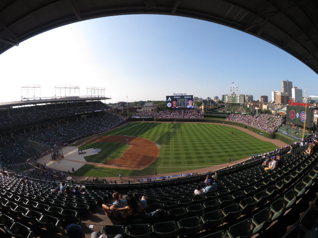
The Chicago Cubs at Wrigley Field

There's nothing more American than baseball. It's up there with donuts and aluminum. So, on an exploratory mission, and partly to pay homage to the legendary team, Ella and I headed to Addison station in north Chicago and entered Cubs territory for the first time. We enlisted the help of an old friend from way back when, Andy, who gave us a tour outside the grounds in the neighbourhood nicknamed Wrigleyville. (We mostly just hung out and caught up, but there was a lot of baseball talk too.) The team goes way back to the 1870s and peaked in the…

Continue ReadingThe Chicago Cubs at Wrigley Field

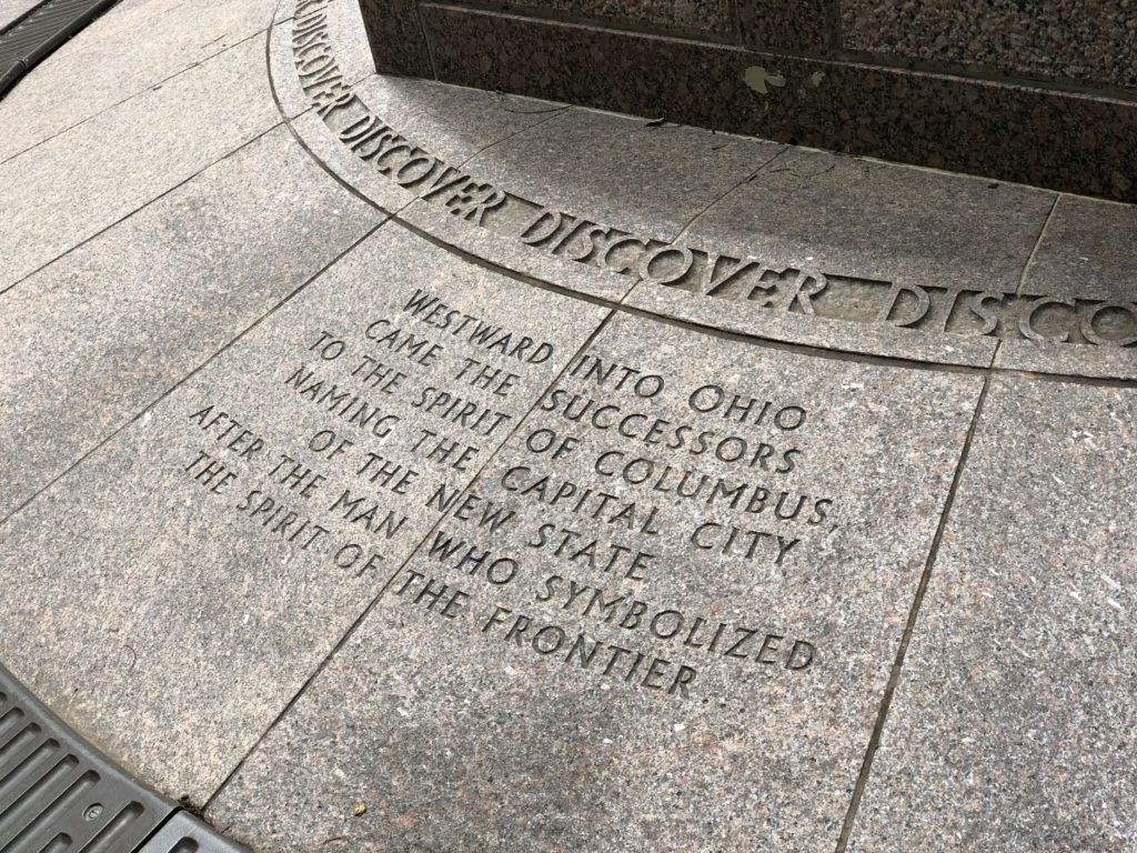
Ohio – the Buckeye State

Our next major destination was Chicago, a long way west of Pennsylvania. So we chose to break up the trip by stopping over in Ohio’s capital city of Columbus. Here’s a few points on Ohio: It’s named after the Ohio River which runs along its southern border. Ohio means “great river” in a Native American language called Seneca. So Ohio River actually means “Great River River”. Nice. It's the 7th most populous state with about 12mn people. It’s a big industrial state, particularly in its northern region, and one of the key states in the “rust belt”. Like Pennsylvania, it’s…

Continue ReadingOhio – the Buckeye State

Pittsburgh – of Steel and Bridges

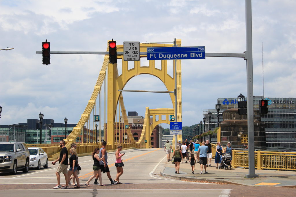
The story starts around 1750 when the French were attempting to expand their territory and unite Canada with French Louisiana. The Brits had built a small fort on a flat piece of land at the meeting point of three key rivers – the Allegheny, the Monongahela, and the mighty Ohio (which meets the even mightier Mississippi further downstream). This was a key strategic point and a high volume fur trading area. The French arrived, drove them off, and built the bigger Fort Duquesne. A party of Brits attempted to take that fort soon after, with Major George Washington as one…

Continue ReadingPittsburgh – of Steel and Bridges

Pennsylvania – West of the Appalachians

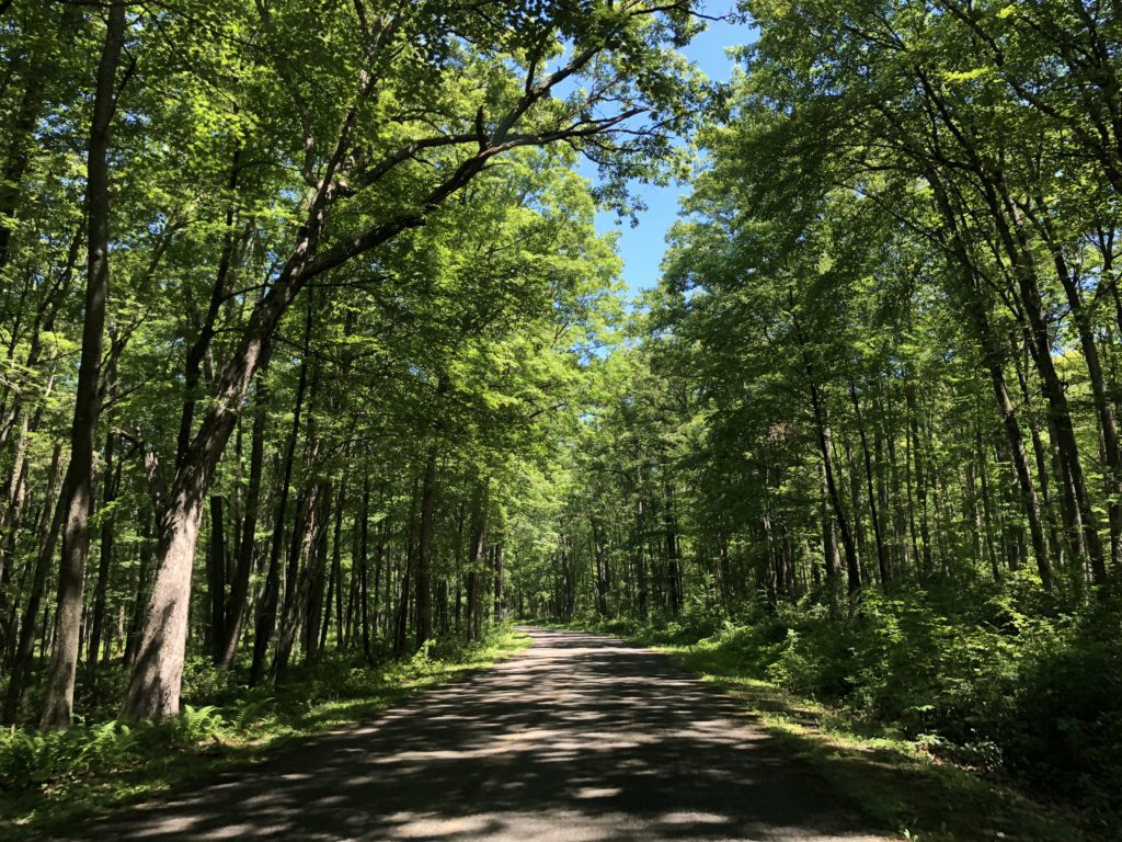
We crossed over the Rainbow International Bridge from the town of Niagara Falls in Canada to the town of Niagara Falls in the United States. Such a good name, it got used twice. We passed straight through the big city of Buffalo, the second largest in the state of New York, and set a south-west course. We opted for more scenic country roads and were struck by the enormous size of peoples' plots of land, and number of American flags on display, the size of peoples' cars, and the amount of agriculture in western New York State. We stumbled onto…

Continue ReadingPennsylvania – West of the Appalachians
Read more about the article Niagara Falls
DCIM100GOPROGOPR1541.

Niagara Falls

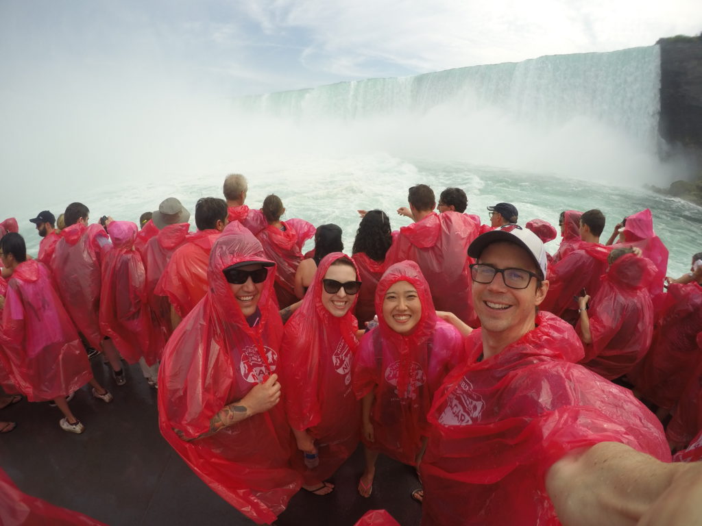
The Niagara River flows north out of one Great Lake (Erie) on route to another (Ontario). The river forms an international border - Canada on the west and the US state of New York on the east. About half way downstream the water takes a sudden 57m vertical tumble to create the immensely impressive Niagara Falls, attracting about 30 million tourists a year in the process. Recently, we were two such tourists. Before the water reaches the falls, it splits into two - about 90% goes over the horse-shoe shaped Horseshoe Falls (technically in Canada), while the remainder creates the…

Continue ReadingNiagara Falls