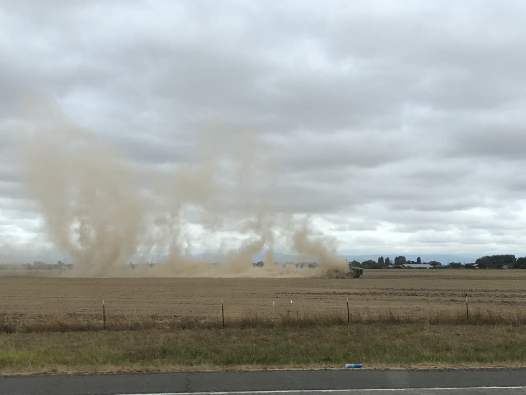
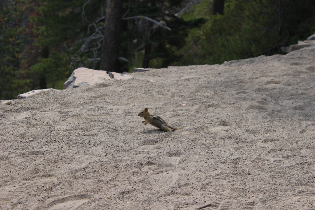
We traveled south from Portland into the Willamette Valley (emphasis on the second syllable for some reason: wil-LAM-ette). This 250km-long valley follows the Willamette river flowing from south to north, feeding the Columbia River near Portland. The valley is home to 70% of Oregon’s population and is a highly productive agricultural region, owing to regular flooding with rich glacial and volcanic soil about 14,000 years ago. Berries, vegetables, hops, Christmas trees, hazelnuts and much more are grown in abundance in this fertile soil. It has also become a well known wine-producing area. I’m not sure what this guy was up to:
We continued south through the valley, passing major cities like Salem, Albany, and Eugene, before pivoting southeast into the forested hills of the Cascade Mountain Range.
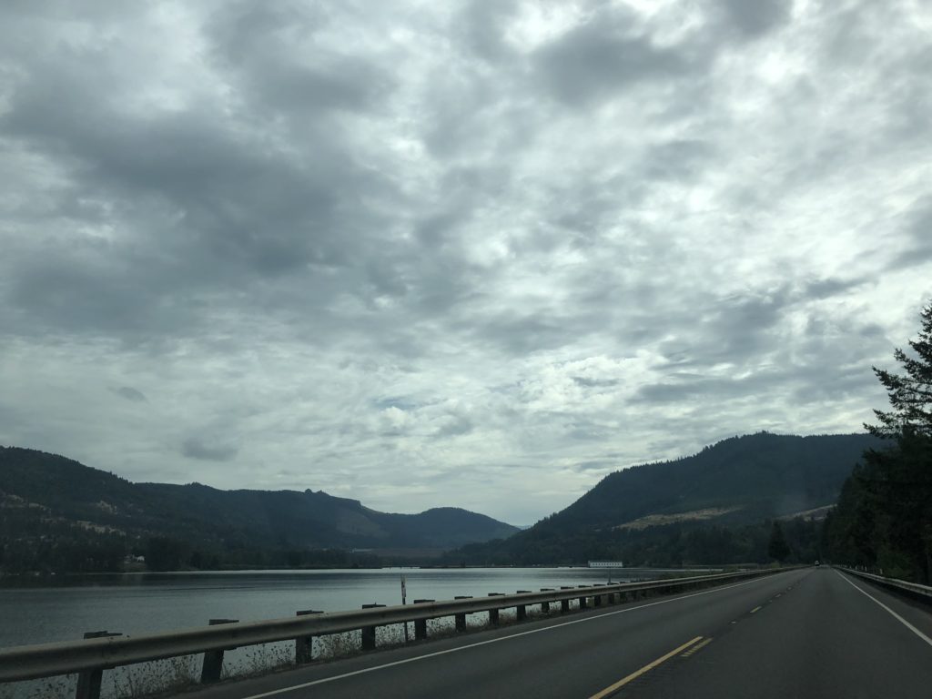
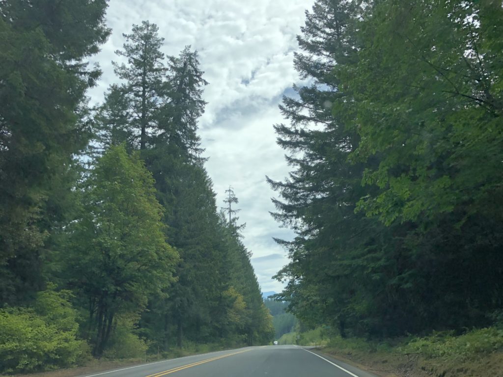
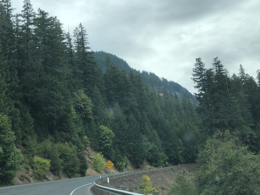
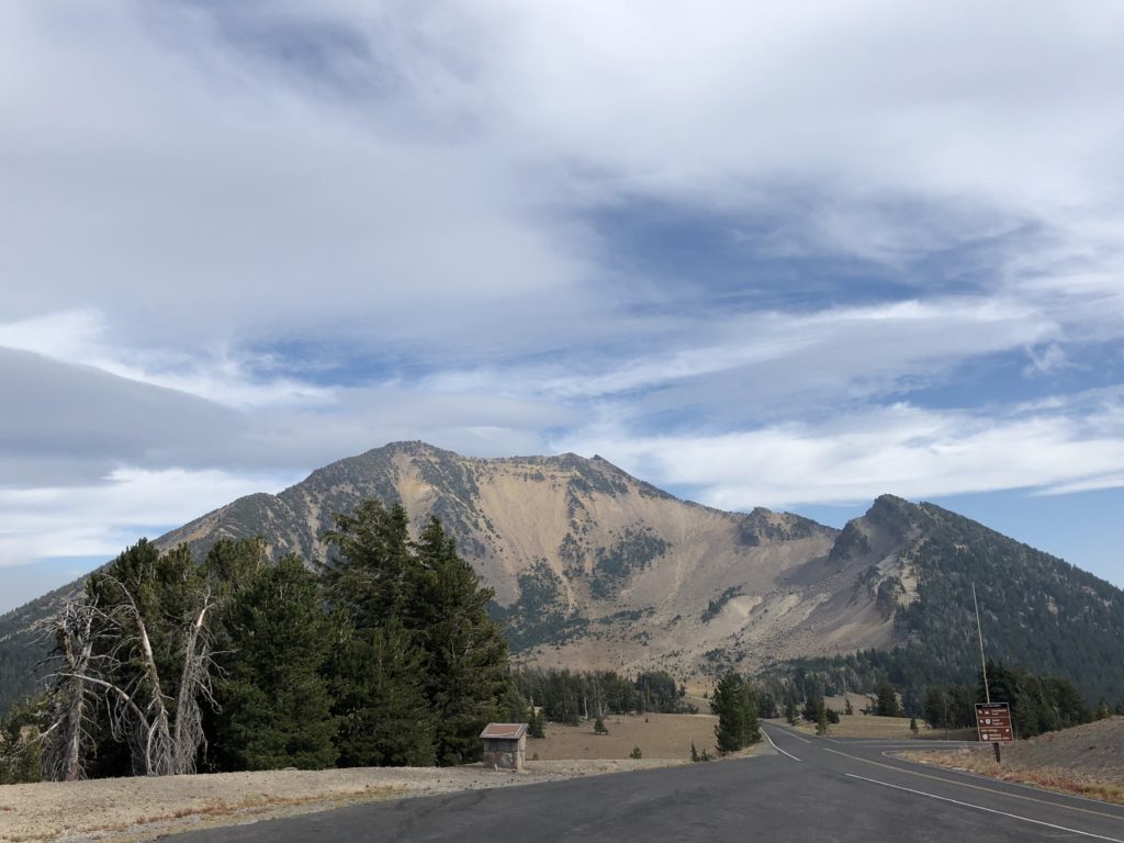
The Cascade Mountain Range is lined with big volcanic peaks – Mount Rainier and Mount St. Helens near Seattle, Mount Hood near Portland. In fact, the mountain range is home to all of the country’s recently active volcanoes on the continent. Our destination was the remains of another big volcano in this range – Mount Mazama.
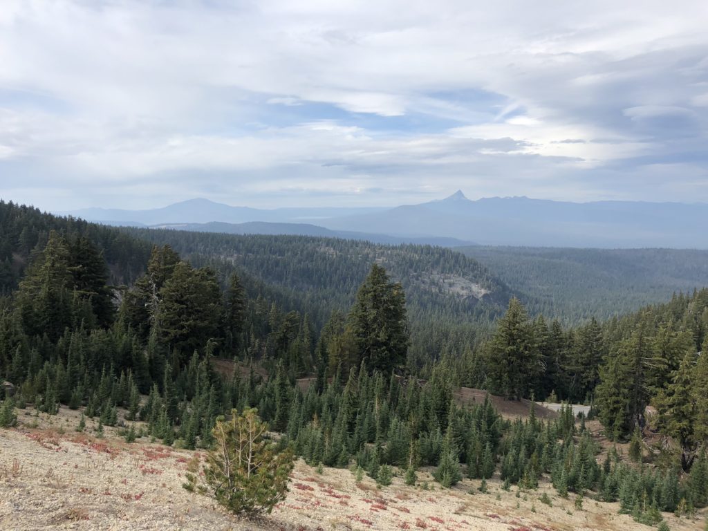
On the drive up to Mazama (about 2,200 metres up), tall dense forests gave way to increasingly barren rocky land.
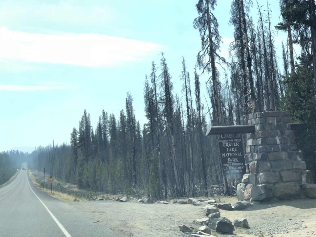
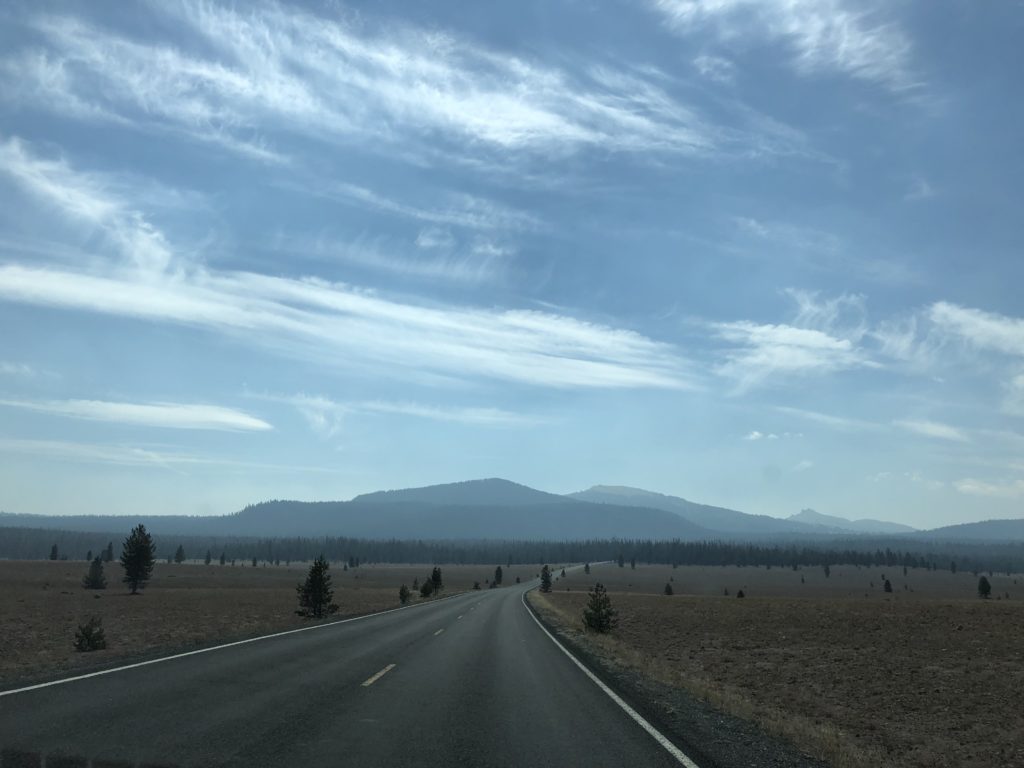
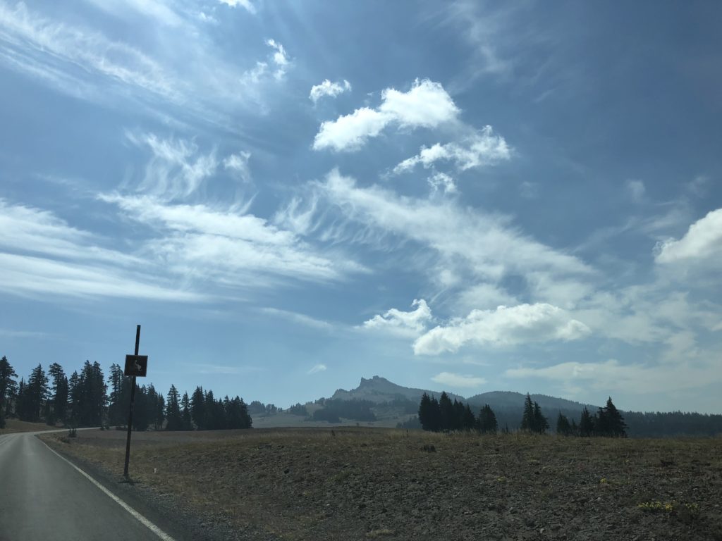
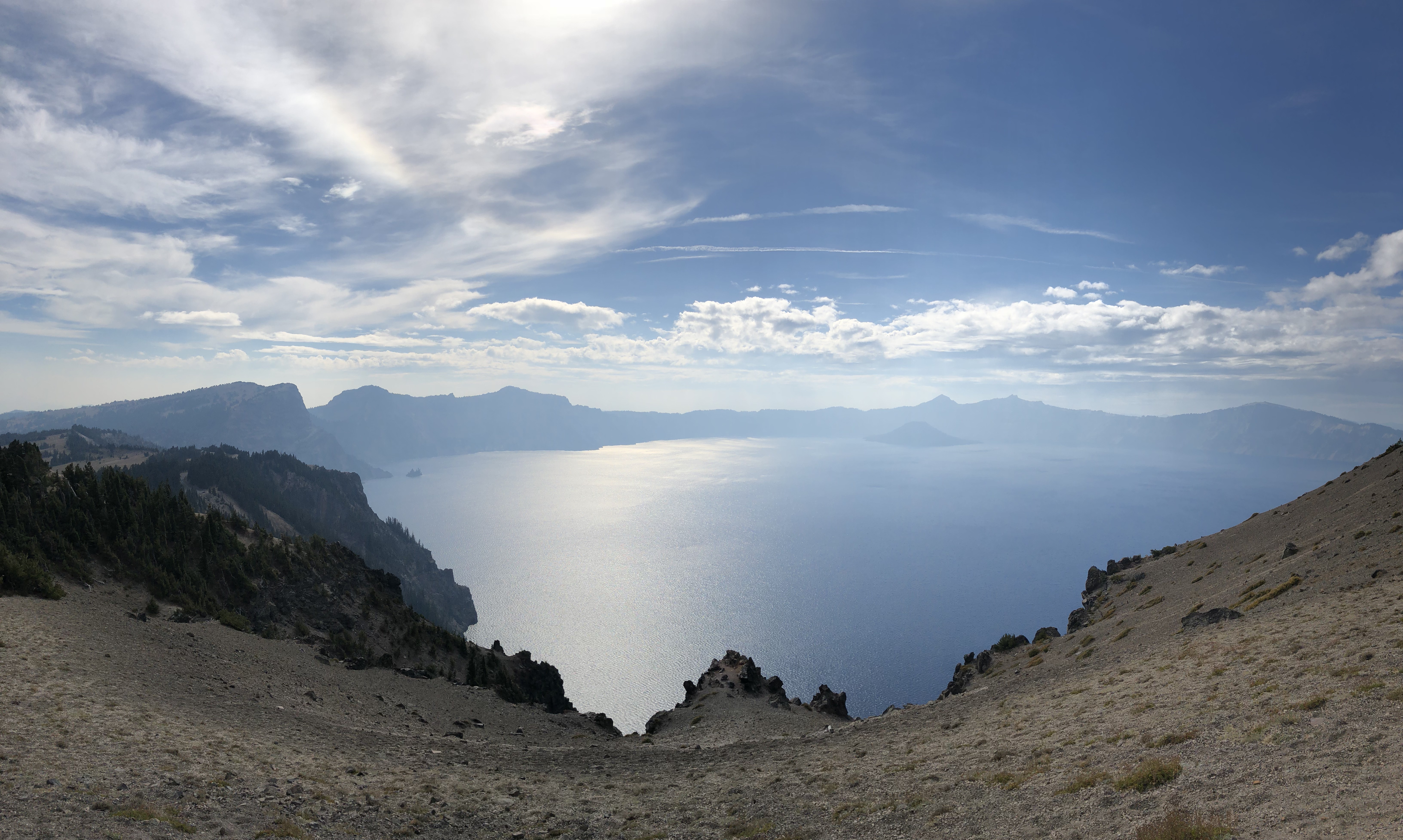
Mount Mazama was built up over a period of at least 400,000 years. Then, one day around 7,700 years ago, the volcano blew its top right off, leaving behind a massive caldera or crater. The mountain lost up to 1,000 metres of elevation in the blast, sending ash as far as Yellowstone. Since then, volcanic activity has calmed down, and the massive crater has been filling up with rain and melted snow, forming Crater Lake. The water is extremely pure (no other inflows), the visibility is outstanding, and at about 600 metres deep, it’s the country’s deepest lake. It’s also ridiculously beautiful.
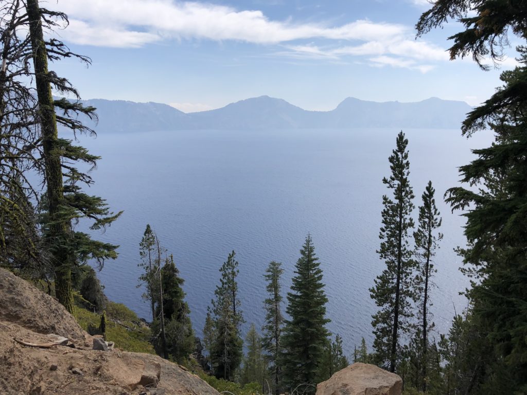
Crater Lake is big – roughly 10km by 8km. The drive around the crater’s rim is thrilling, offering awesome views of the deep blue lake below. During this drive, we celebrated passing the 10,000 kilometre mark on our North American roadtrip.
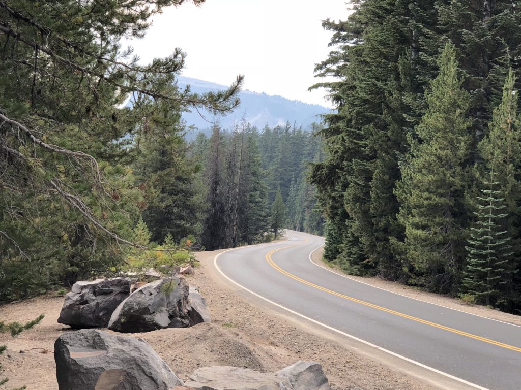
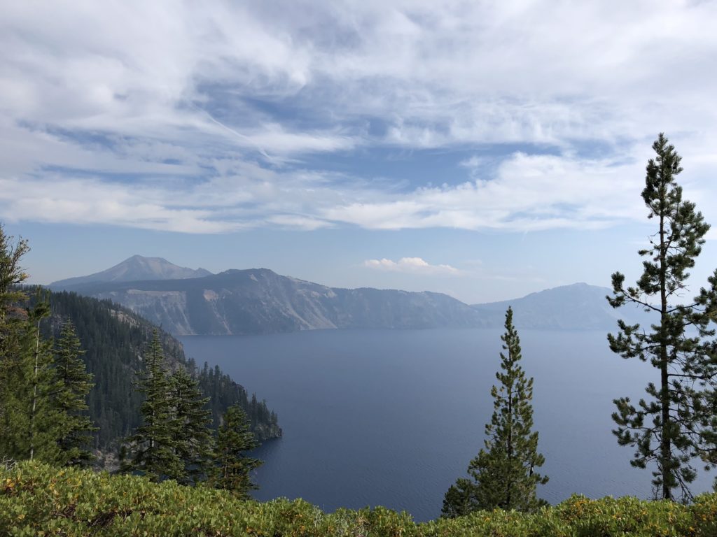
There are a number of viewing points along the crater rim drive where you can stop and wander around or do whatever.
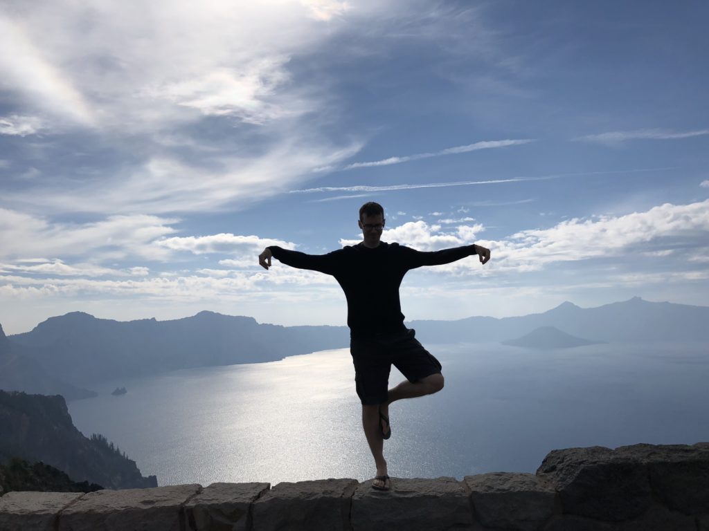
(there is no spoon…)
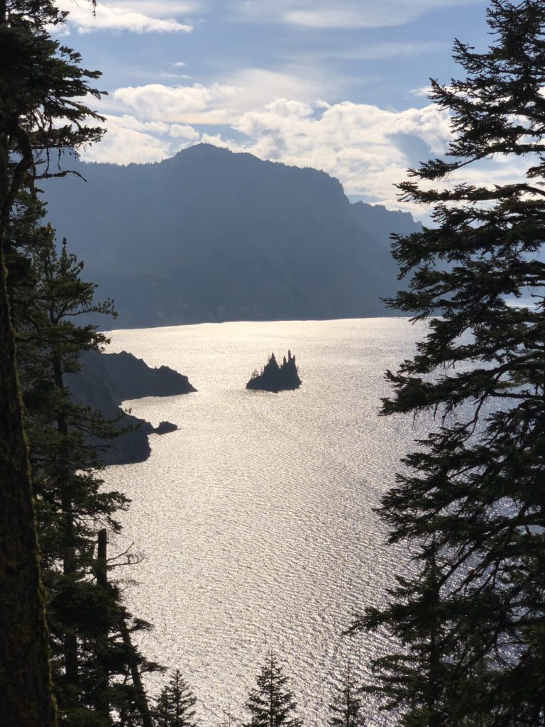
At one of the stops, you get a great view of a little rocky outcrop in the water. It is referred to as the ‘Phantom Ship’, as it resembles a ghost ship during foggy, low-light conditions.
There’s a big island on the other side of the lake named ‘Wizard Island’. It’s the tallest of a number of “cinder cones” that formed after Mount Mazama had its big bang. Volcanic material was regularly forced out of a vent deep under water. This material started to build up around the vent, slowly creating a large cone-shaped structure under water. This process continued until it eventually popped its head above water.
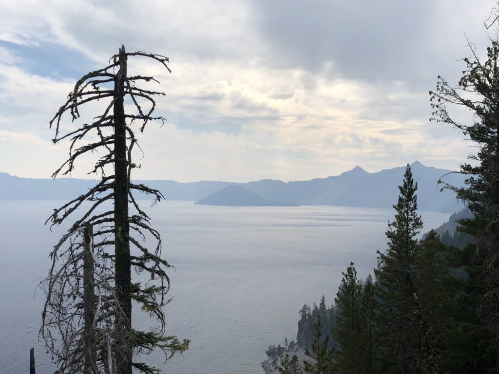
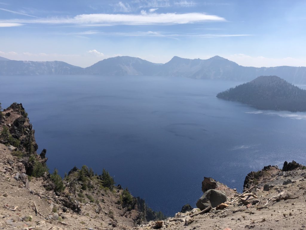
Interestingly, there is still some volcanic activity at the floor of Crater Lake, meaning that one day Mount Mazama may once again produce some fireworks.
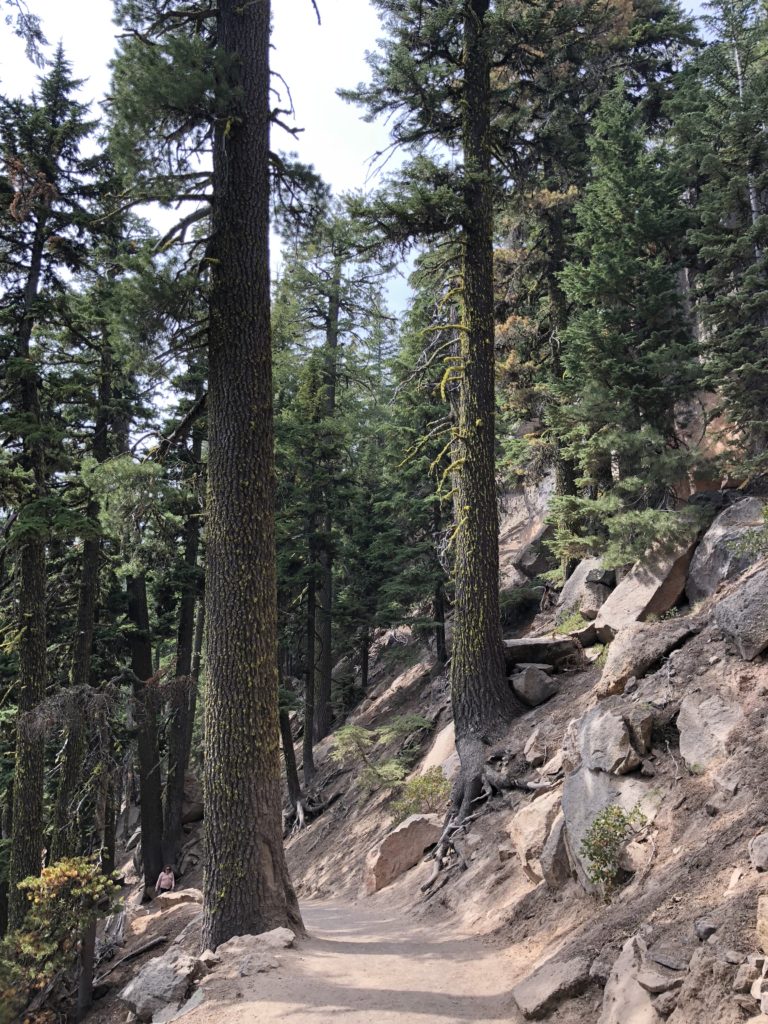
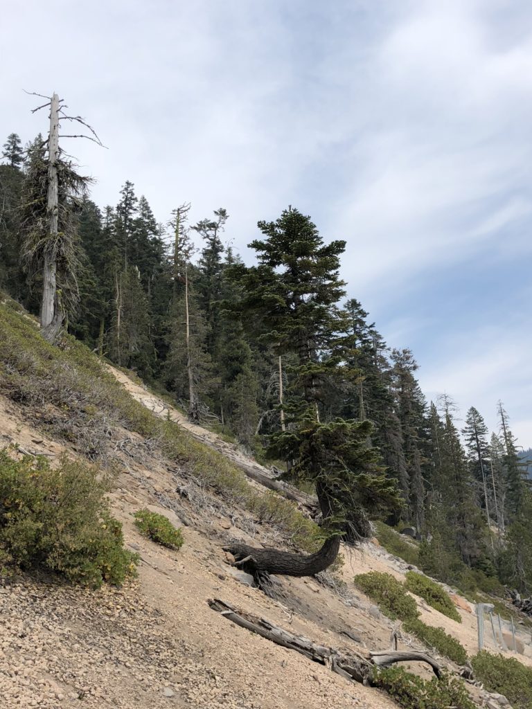
There is a trail from the crater rim down to the water’s edge called the Cleetwood Trail. It’s pretty steep, but not all that long. You get great views of the lake along the way, and can see trees hanging onto the steep slope for dear life.
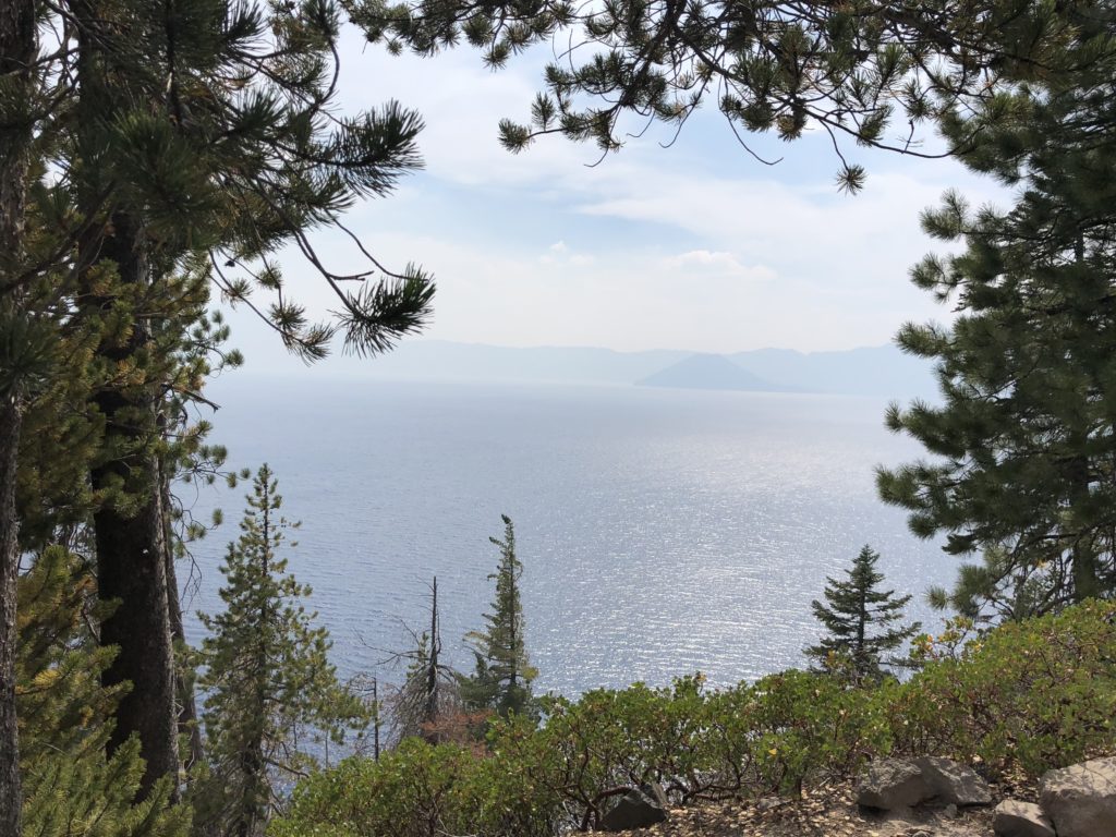
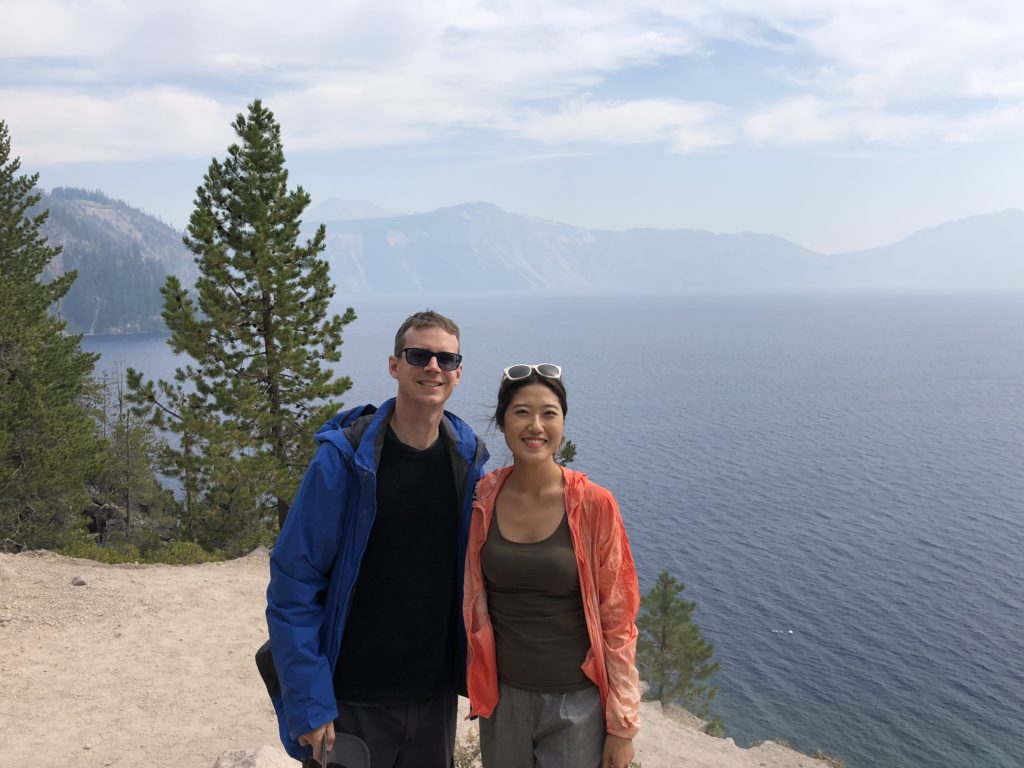
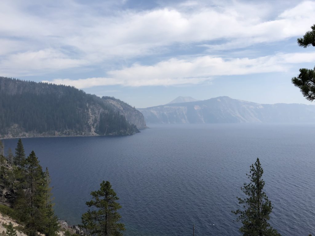
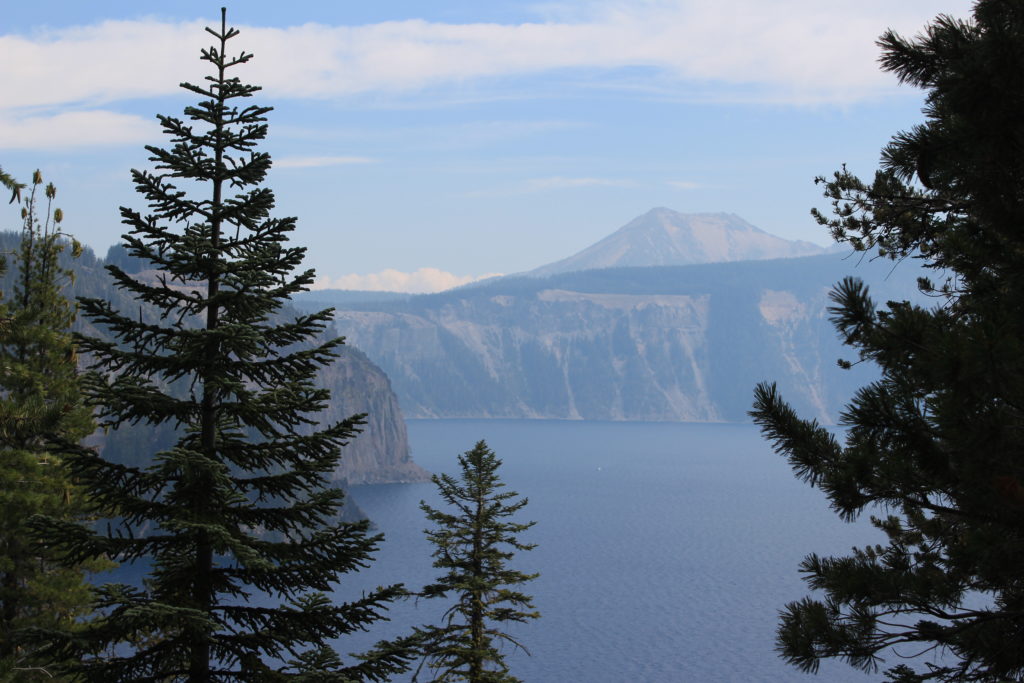
Crater Lake National Park, established back in 1902, is actually one of the country’s oldest national parks. Aside from Crater Lake itself, the park is graced with beautiful views in all directions. We camped for a night in the park at the Mazama Village campground, our first campground in a few weeks. And when we woke the next morning, we had visions of California.
