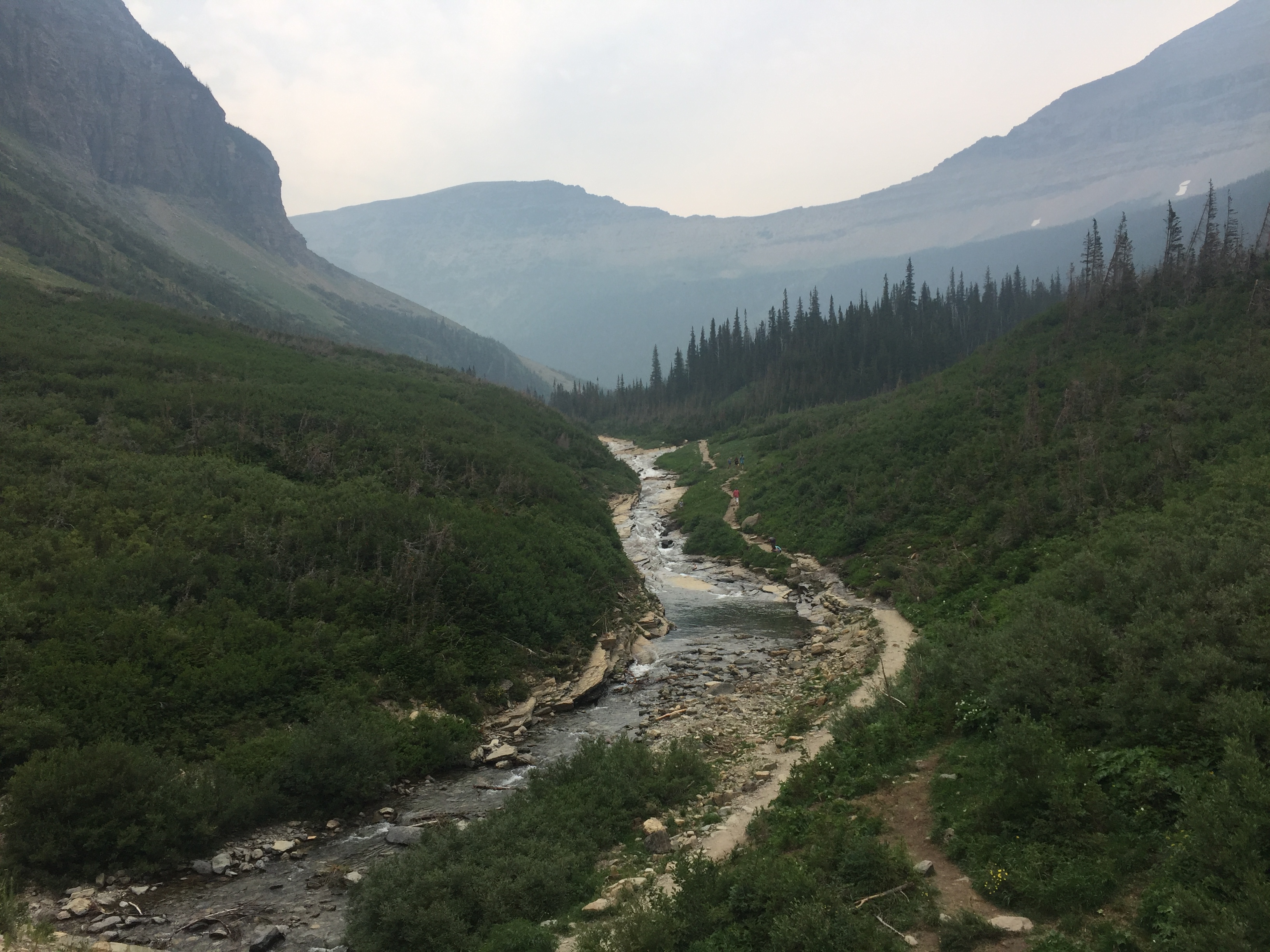
We arrived in Glacier National Park, a place that had been recommended by a number of people both before and during our travels. We came prepared to see some glaciers and do some hiking.
To understand this park, I had to go back to basics. What is a glacier? It is ice, densely compacted together, that is constantly moving under its own weight. Imagine if snow began to accumulate on the top of a hill at a rate faster than it can melt. Over time this would form a dense body of ice. Over some more time, this body would get so heavy that it would start to move slowly down the hill. You’ve now got a glacier. From year to year, more ice will be added at the top of the glacier while the whole thing slowly slides down the hill and starts to melt at the bottom. If you take a walk on that glacier, you are not walking on land, but ice. Given how far north Glacier National Park is and its altitude in the Rocky Mountains, this area was once the domain of glaciers.
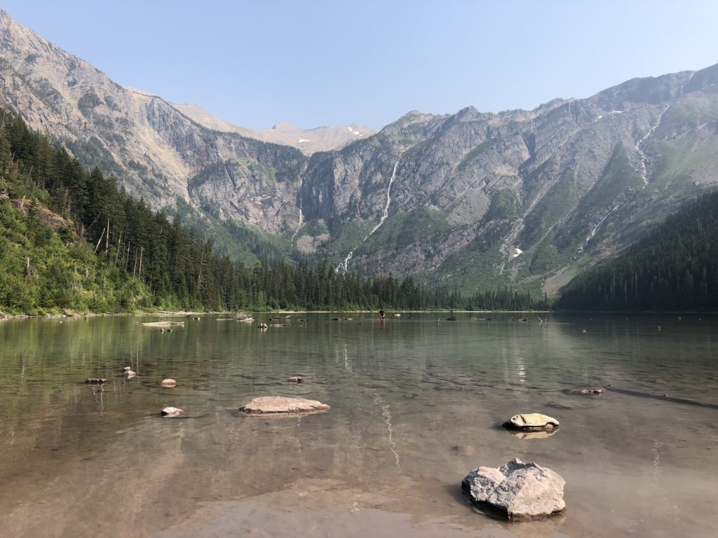
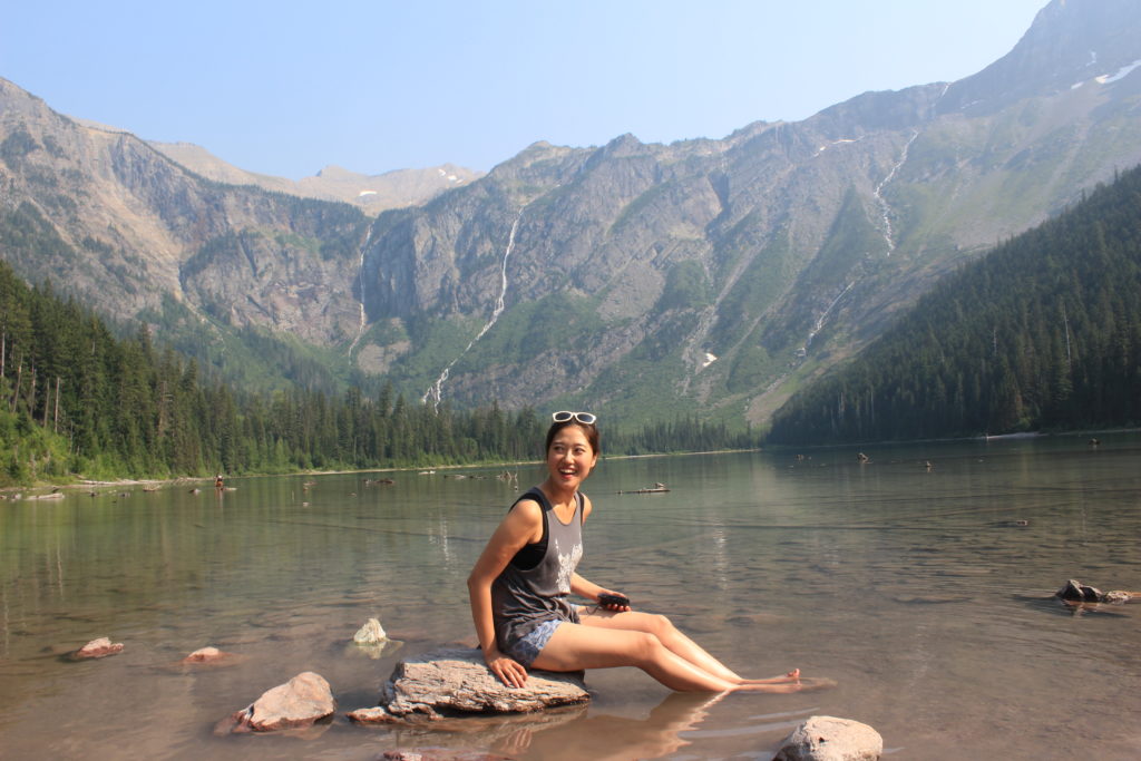
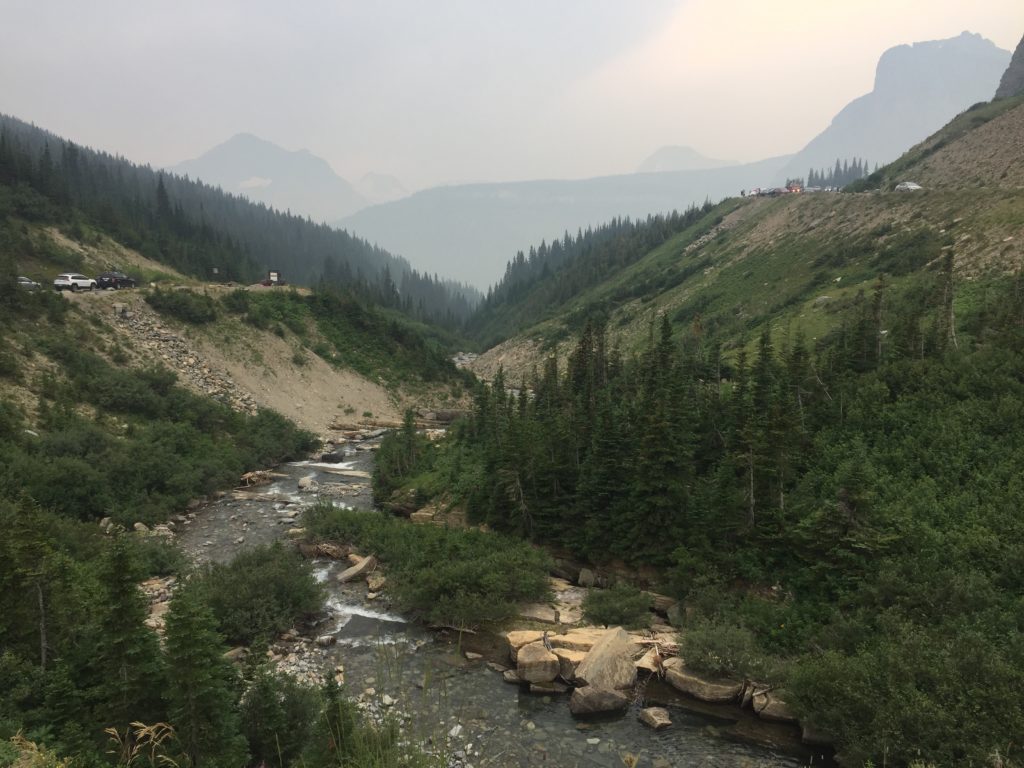
The last ice age peaked about 20,000 years ago, and glaciers covered the mountains and hills in the area that had already been somewhat shaped by rivers. As these glaciers moved downhill, they would cut through rock and further erode mountains, resulting in tell-tale wide-bottomed, steep-sided, U-shaped valleys (as opposed to a V-shaped river-eroded ones). Over the last 20,000 years, the glaciers have all but disappeared, but the valleys they carved are the evidence of their former glory days. Lakes now fill up the bottom of these valleys, and in the process produce some truly awesome scenery. The park has something like 2,000 lakes. We took a hike up to a popular one called Avalanche Lake to stretch our legs and take in the view.
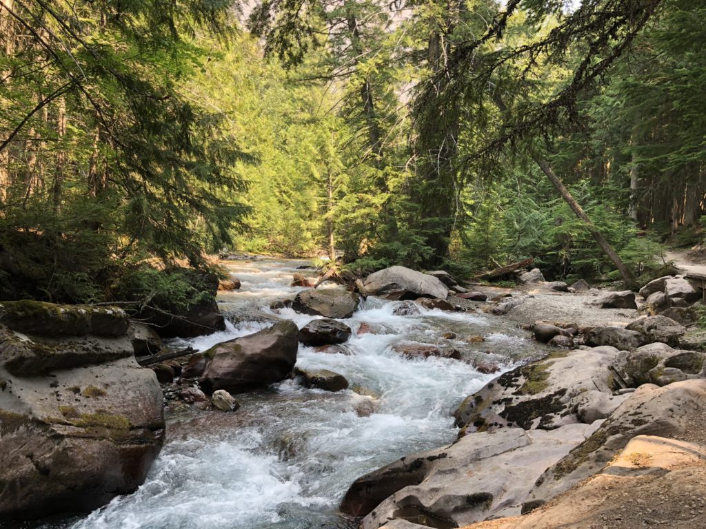
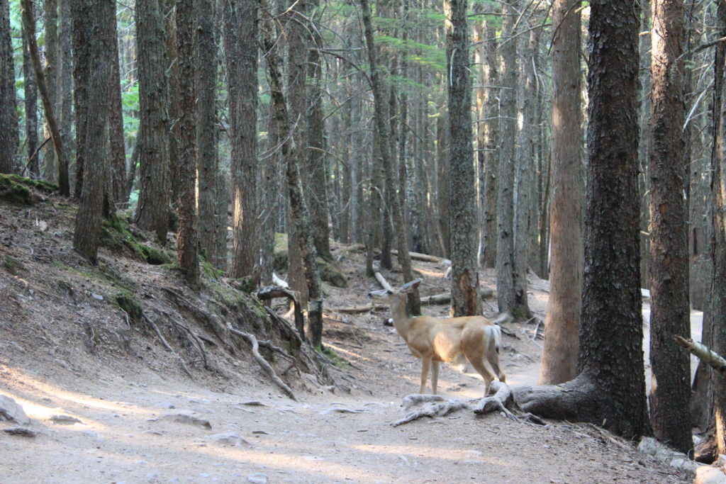
The two largest lakes in the park – McDonald and Saint Mary – are both huge, which makes seeing the U-shape a little trickier. We camped next to the former and hiked around the latter. The whole area has that natural purity that you can find so easily in cold high-altitude places.
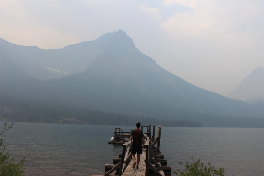
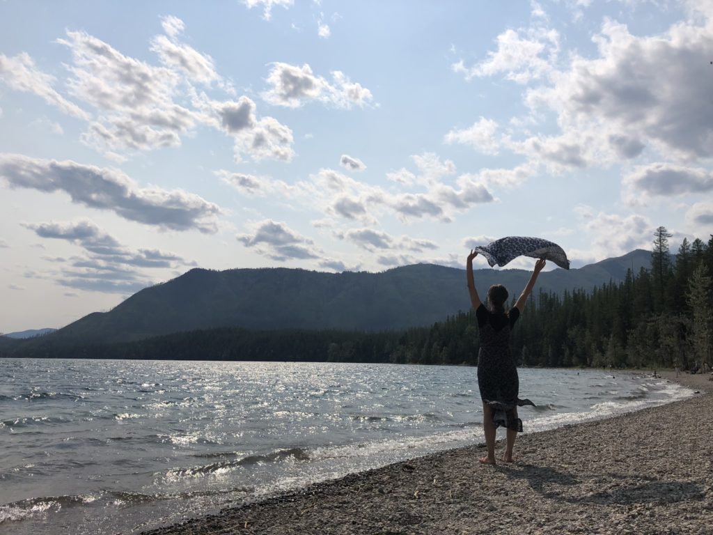
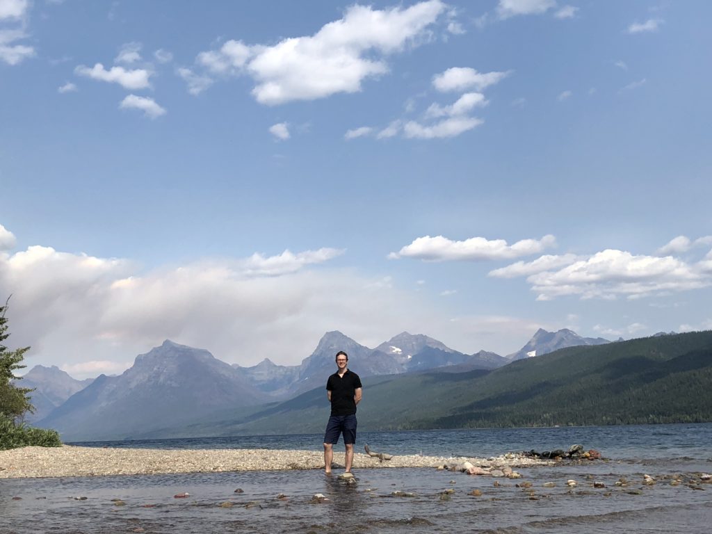
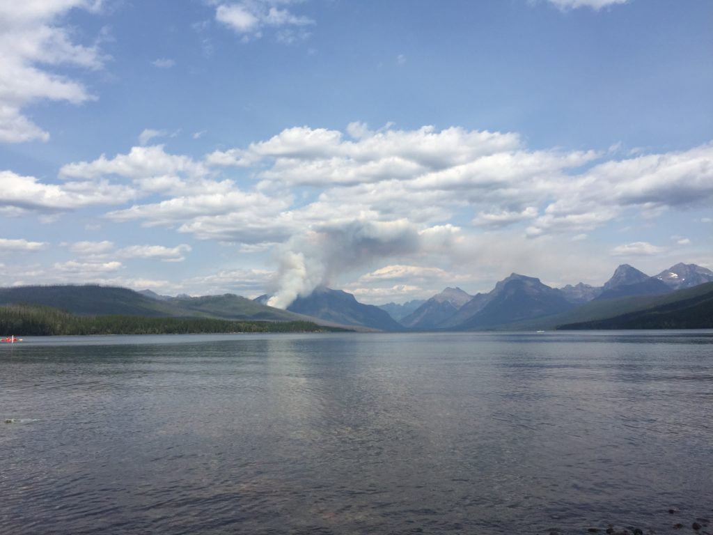
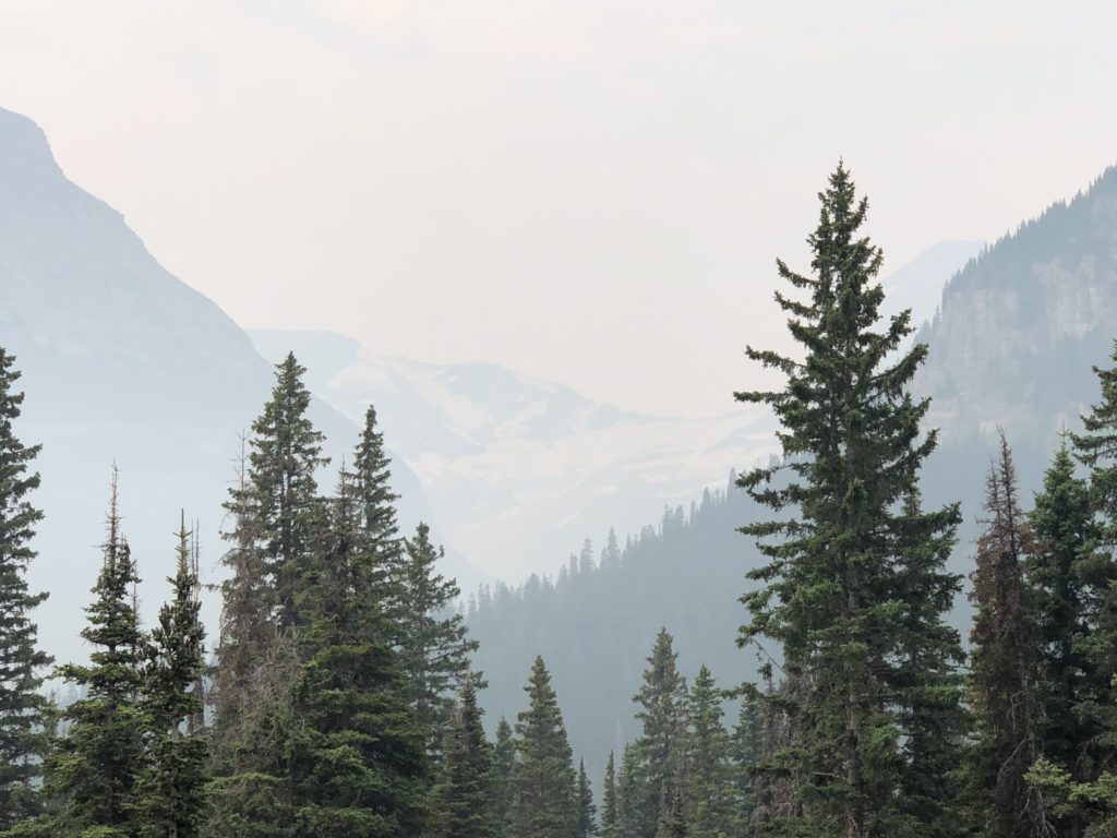
In the picture of Lake McDonald above, you can see the smoke from a forest fire on the left bank. There were unfortunately a number of forest fires in the area at the time of our visit, meaning that sometimes the sky was very hazy. This was true when we stopped at the Jackson Glacier Overlook to take a look at one of the few remaining glaciers visible from the road. When the park was founded over 100 years ago there was over 100 glaciers compared to today’s twenty-odd.
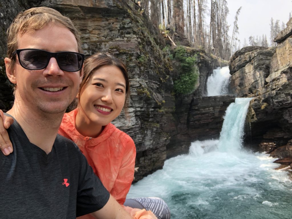
Another hike took us past a few waterfalls in the Saint Mary Lake area.
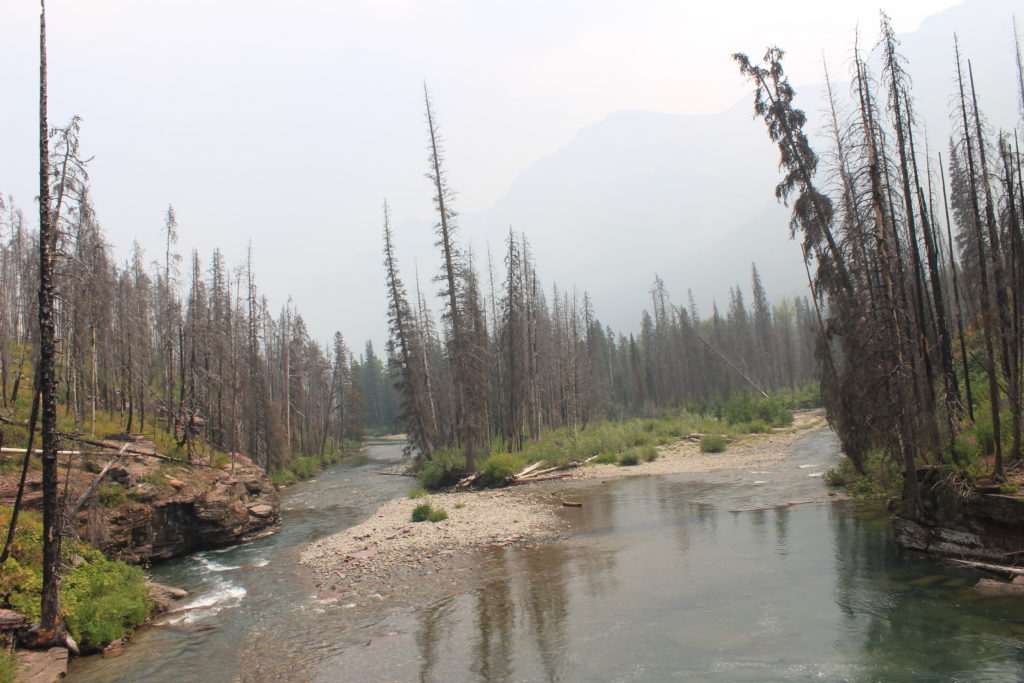
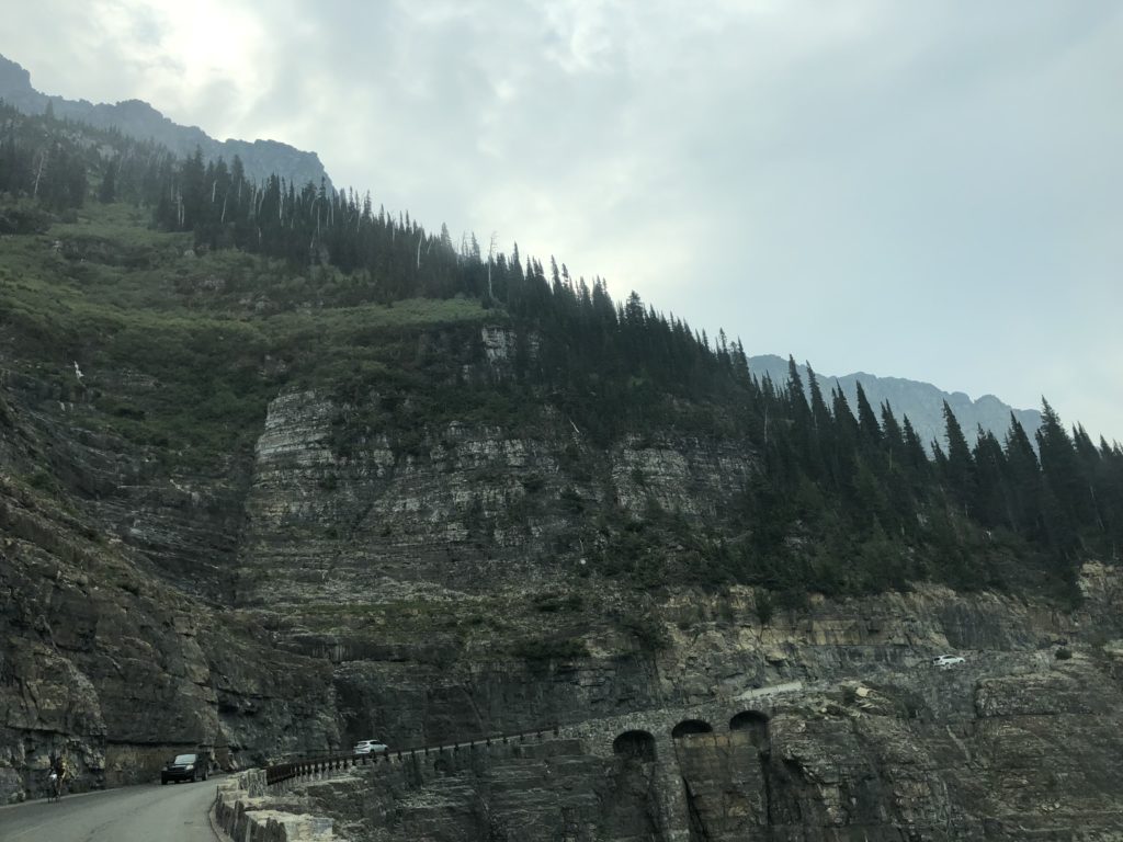
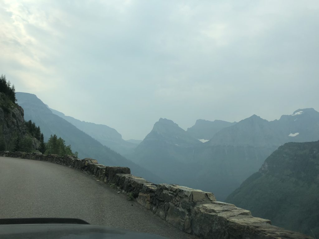
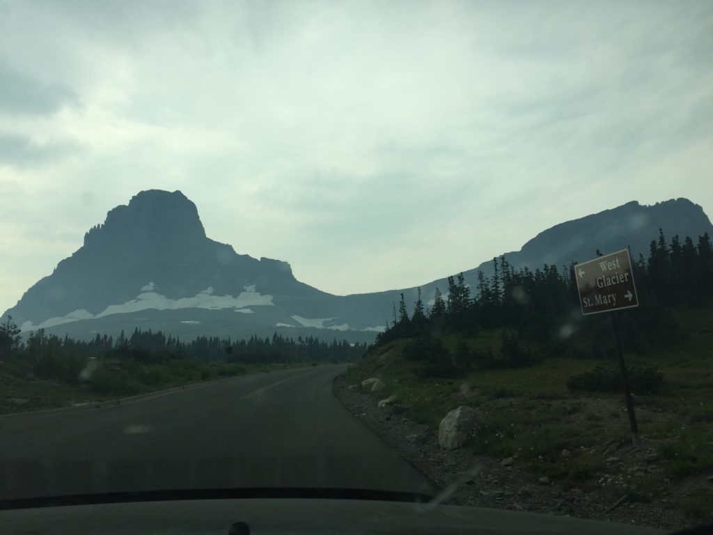
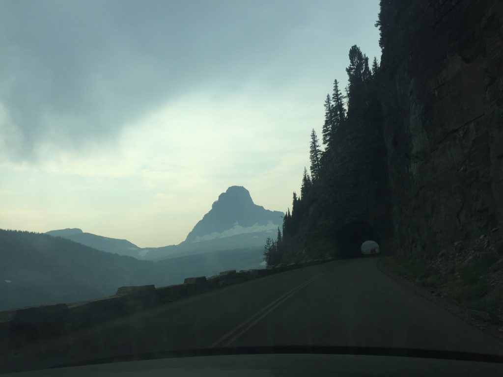
One of Glacier National Park’s most amazing attractions is to drive along the “Going-to-the-Sun Road”. It’s a fifty mile road carved into the mountain side that links the two big lakes I mentioned above. It effectively links the western side of the park to the eastern side and crosses Logan Pass at a height of 2,000 metres. The road was completed in 1932! It gets its name from a nearby mountain which in turn is named after a Native American legend. The road makes a cameo in films like Forrest Gump and the Shining. The views are incredible, the drive is exhilarating/terrifying, there’s nothing quite like it.
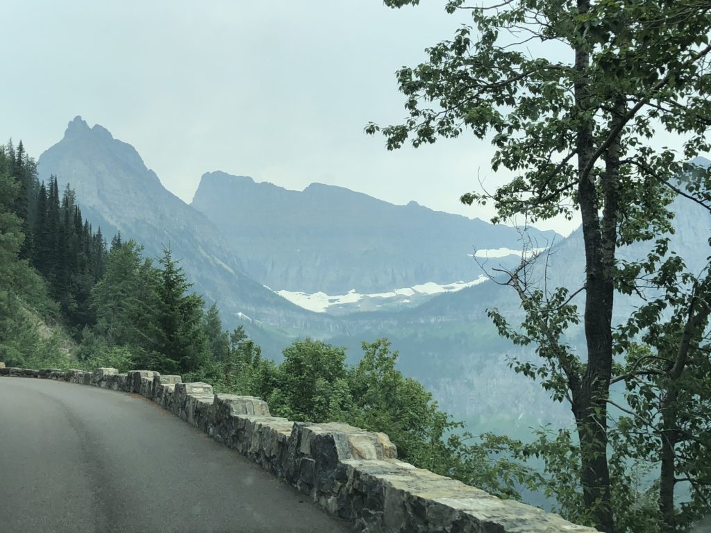
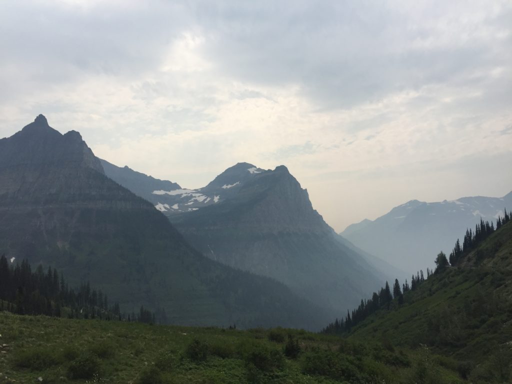
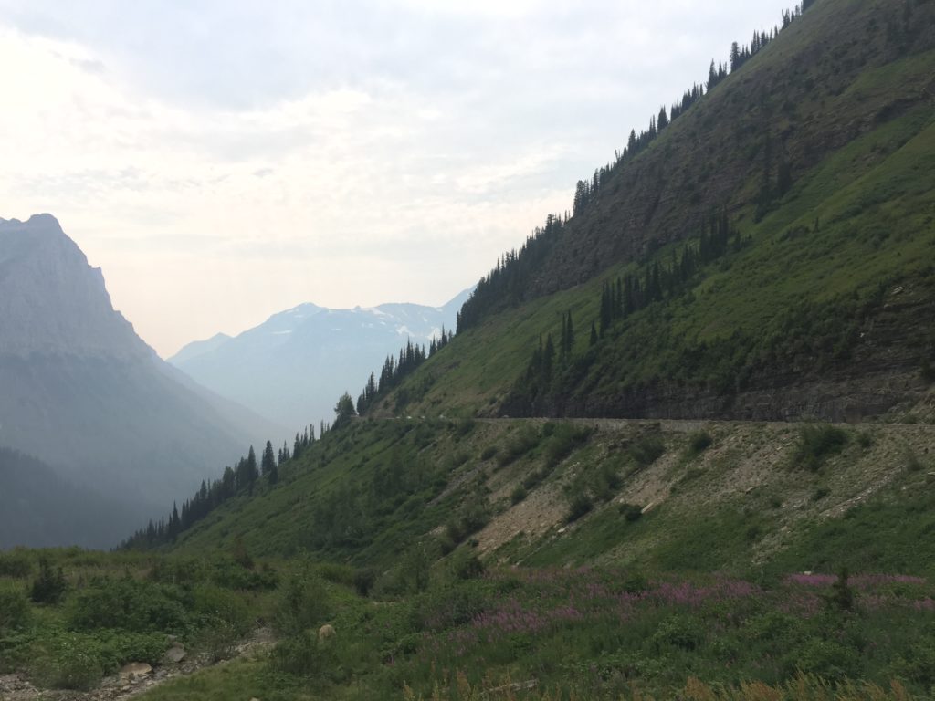
After a few busy days of hiking around the “Crown of the Continent”, we drove eastward out of the park and then northward into Canada.

