We set off… eastward. After months of steady westward and mostly southbound progress, for the first time during our North American journey we were heading east. We had recently passed what in hindsight would be the halfway mark of our trip, and setting off eastward reinforced this fact.
The most direct route between Los Angeles and Las Vegas is a 4-hour, 270-mile sprint along the interstate 15. We had very little interest in taking direct routes on this adventure, and decided instead to take the road that goes past Joshua Tree National Park. Ella and I knew nothing about it, except that friends rated it ‘well worth a visit’. On the way, we again saw evidence of California’s renewable energy push:
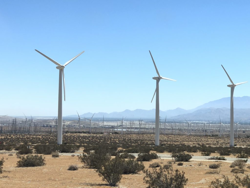
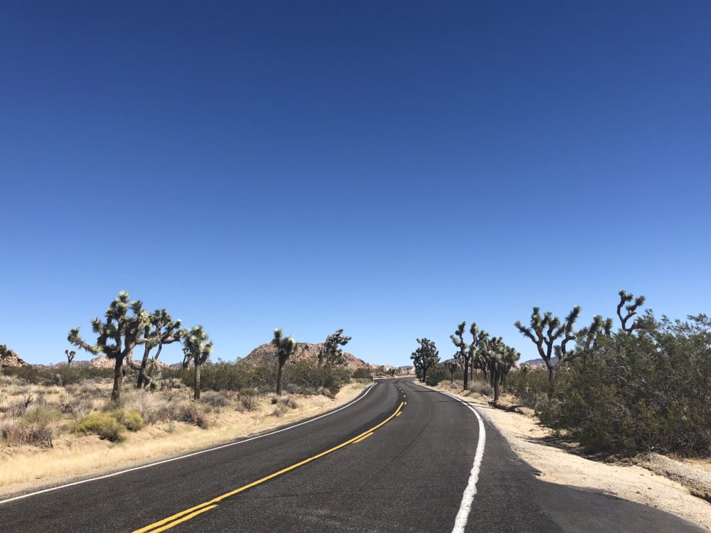
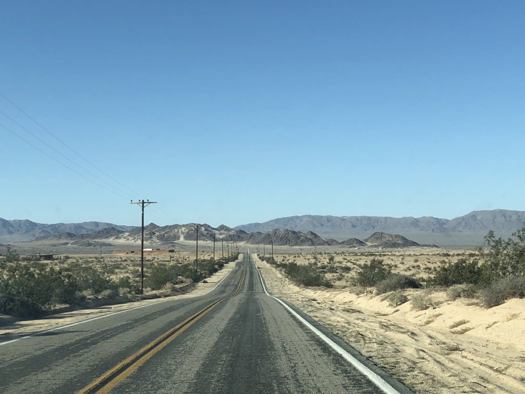
We made our way across miles of dry, dusty southern Californian desert landscape – sand, scrub, and brown craggy hills in all directions. Under cloudless blue skies, it’s all quite beautiful.
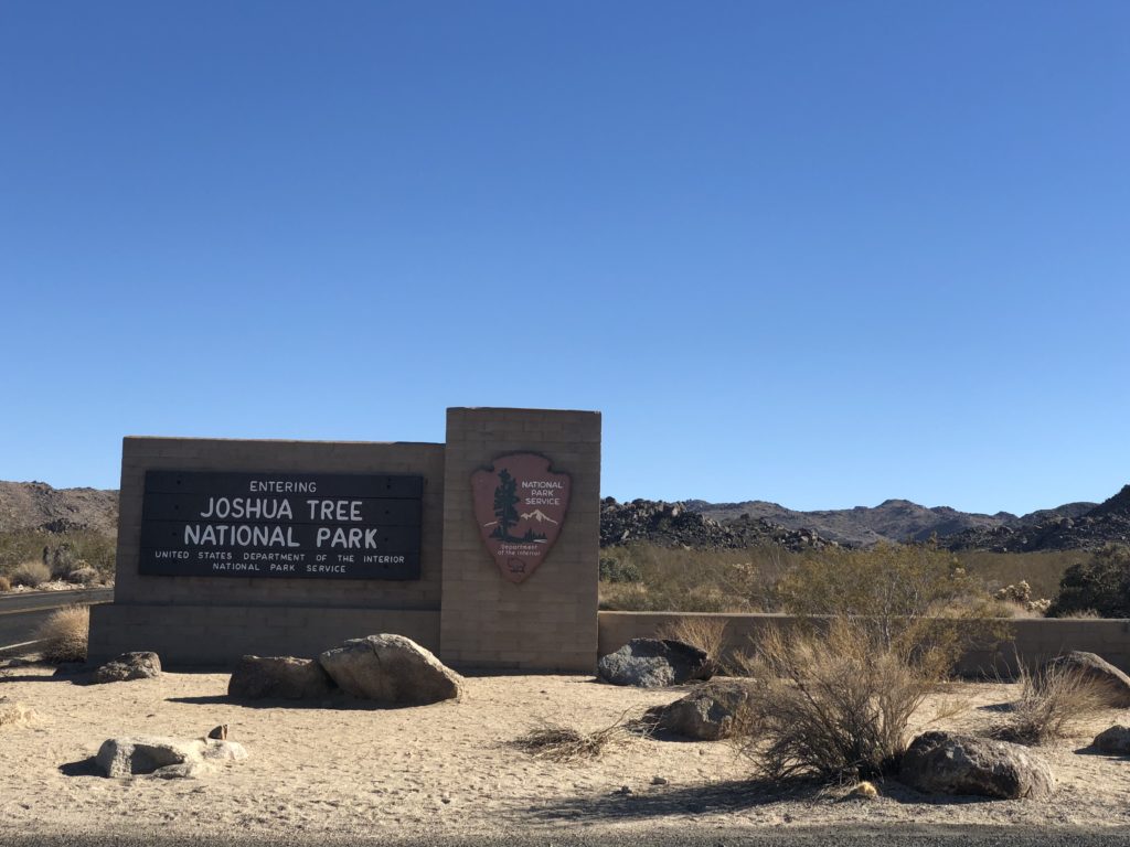
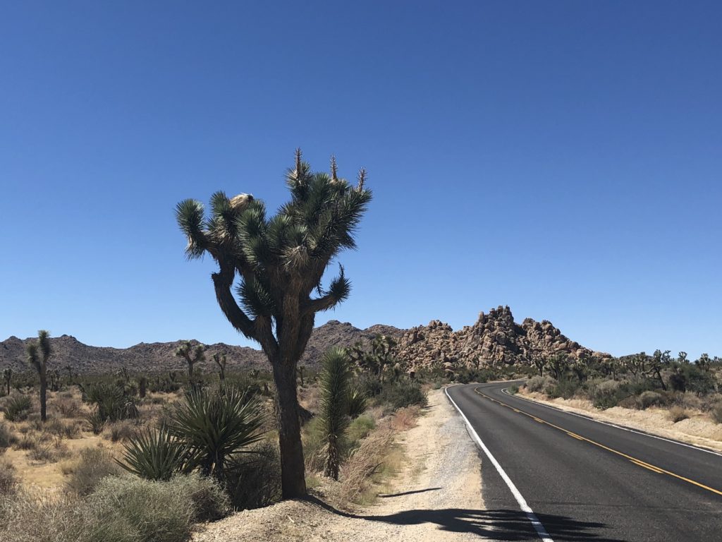
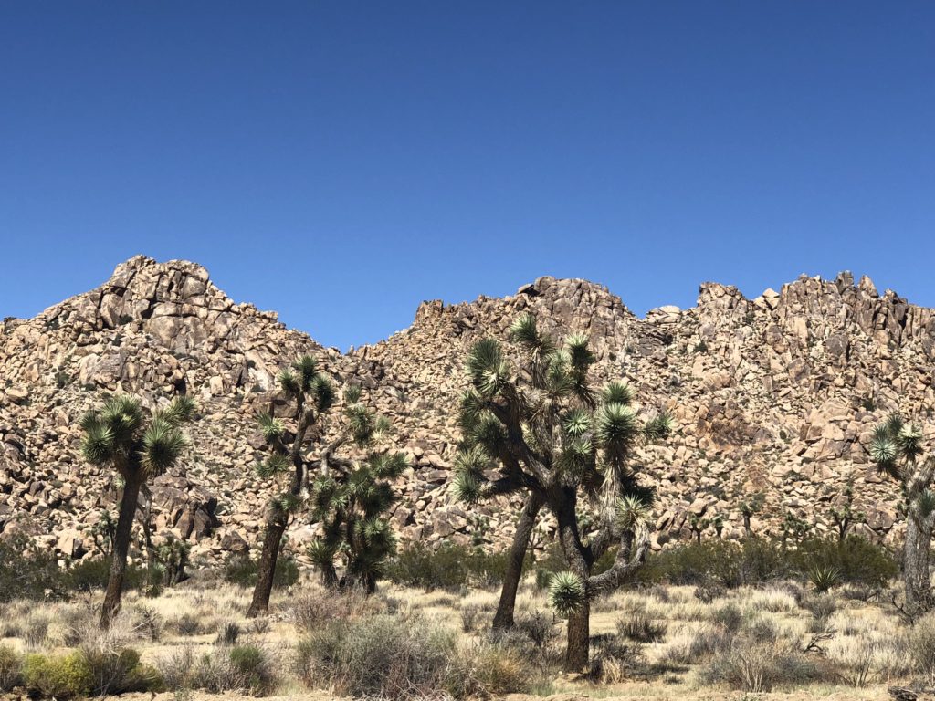
The Joshua Tree National Park has an incredibly unique landscape. It straddles parts of two different deserts – the Colorado (east) and the Mojave (west) – and is home to the unusual-looking joshua trees. Supposedly, a group of Mormon settlers crossing the Mojave desert in the mid-1800s believed that these trees were guiding them through the desert, their ‘branches’ showing them the path. They likened this to the story of Joshua reaching out his hands to guide the Israelites in their conquest of Canaan. The only problem with this story is that the trees seem to point in all directions – will any route take you to the promised land? This is getting deep…
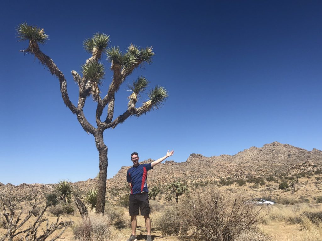
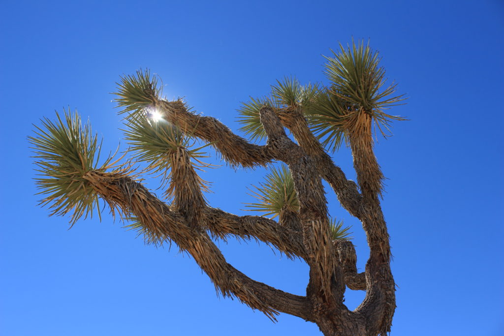
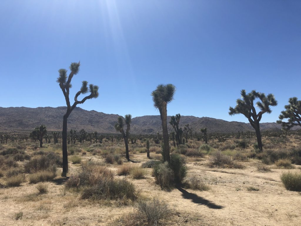
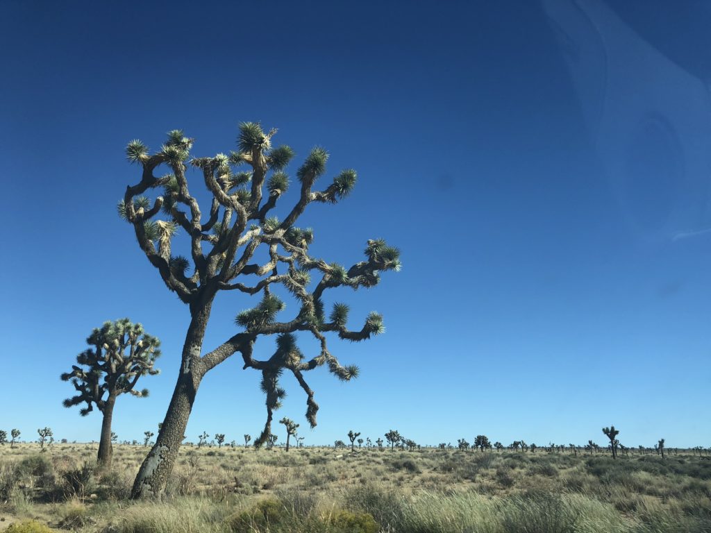
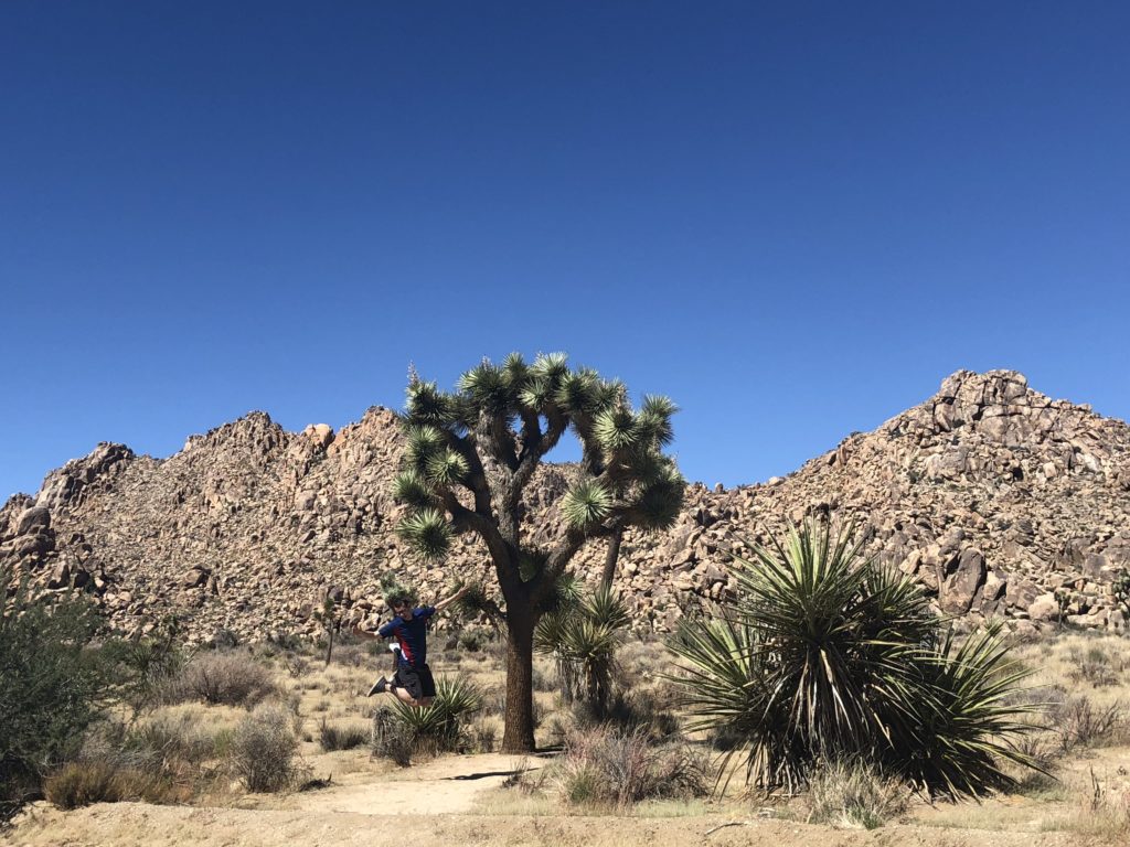
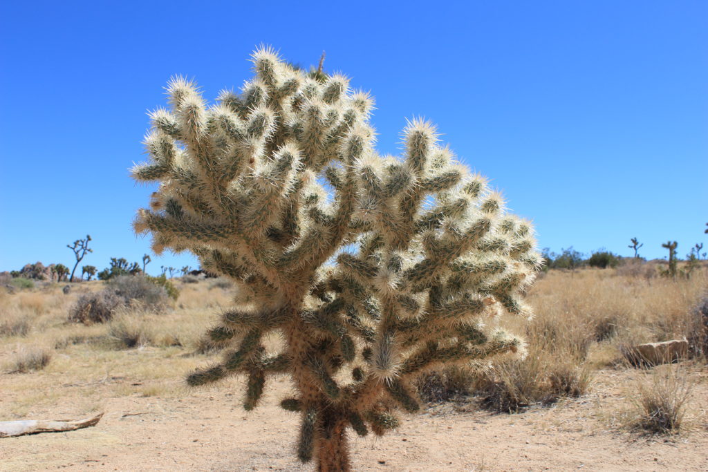
Anyway, joshua trees aren’t actually trees, but plants, part of the yucca family. They grow between 1 and 3 inches per year, quite fast for a desert plant. A number of plants that we passed were impressively tall.
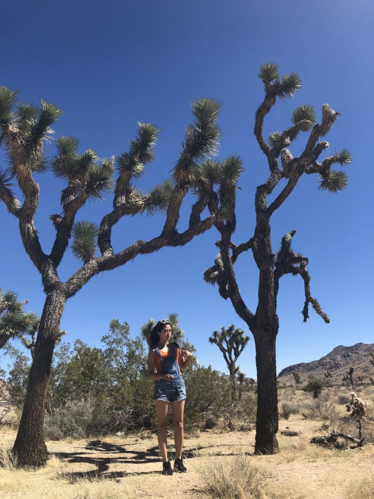
Amazingly, joshua trees can live for hundreds of years. Imagining living things being around since before your grandfather was born is quite something.
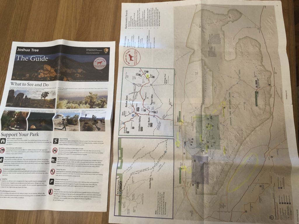
All the national parks we visited in the United States handed us a pack of information as we entered – often a park newspaper with maps, details about the camps, wildlife, ranger programs, etc. – as well as more detailed maps and brochures. Visitor’s centres were also very common, and they always had staff who could help you choose a suitable hike, plan a route, or sign up for a ranger program. They make it pretty easy for tourists. Here’s a picture of the park paper we received when entering Joshua Tree National Park:
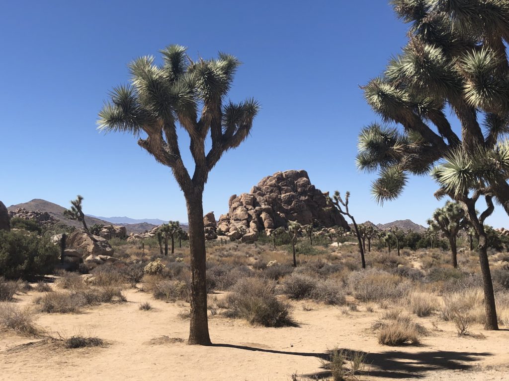
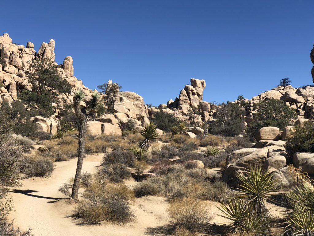
We found our way to an beautiful spot in the park called the Hidden Valley. This place has an interesting past. In the 1870s, two brothers living in the area formed the McHaney cowboy gang. They were cattle rustlers, a poetic name for cattle thieves. They would ‘rustle’ cattle from distant farms and steer them towards Hidden Valley, a large relatively grassy area surrounded by high rocks. The cattle would feed on grass in the valley while the cowboys rebranded them, out of the view of any lawmen riding past. The cattle would then be sold in out-of-state markets in what was apparently quite a profitable enterprise. Today, there’s an incredibly scenic one-mile trail along the inside of this valley. Take a look:
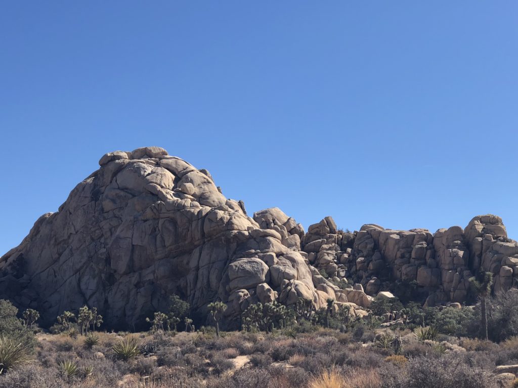
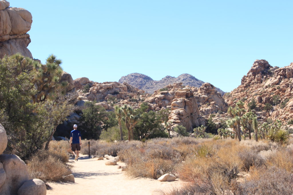
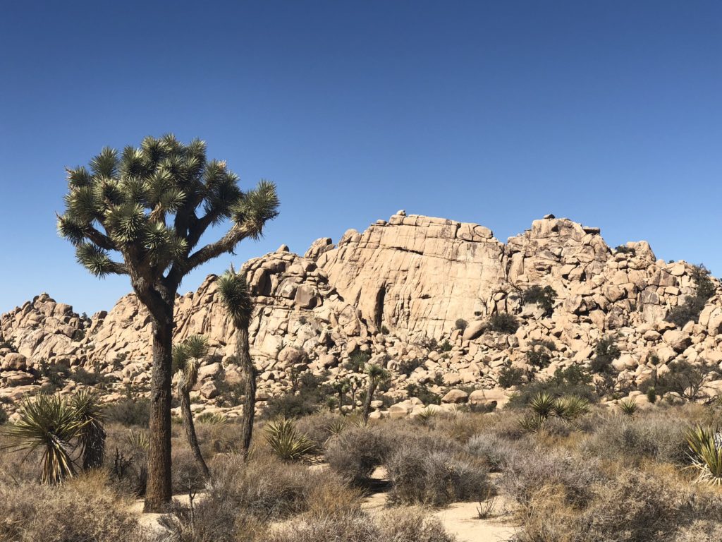
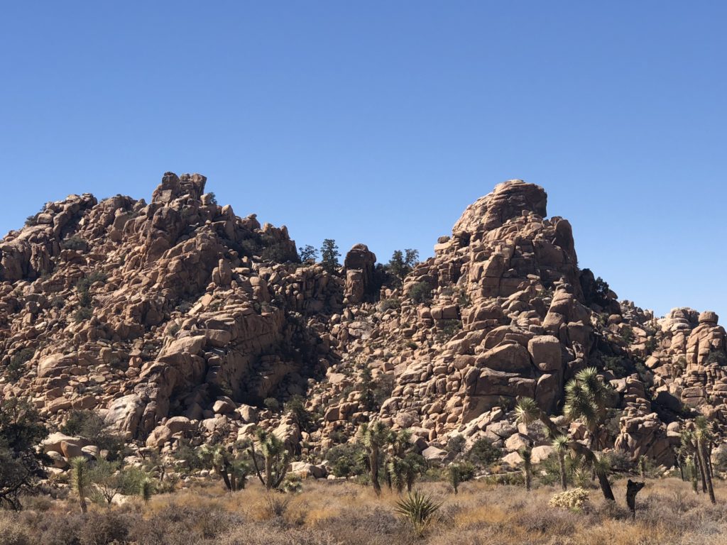
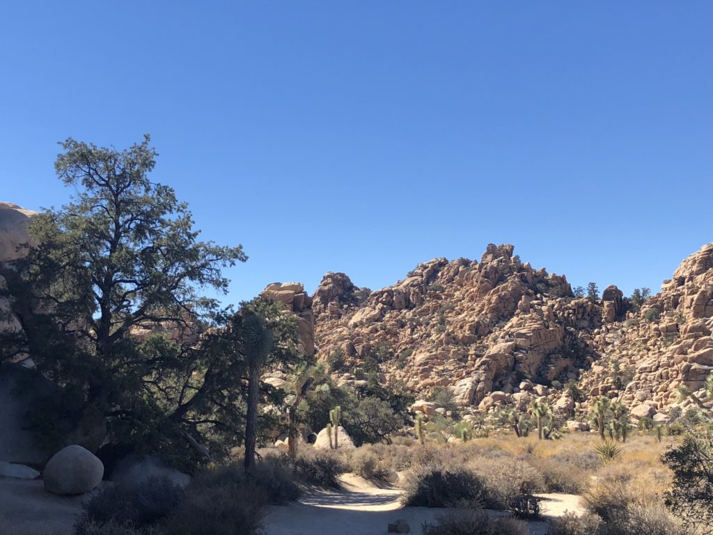
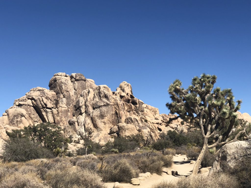
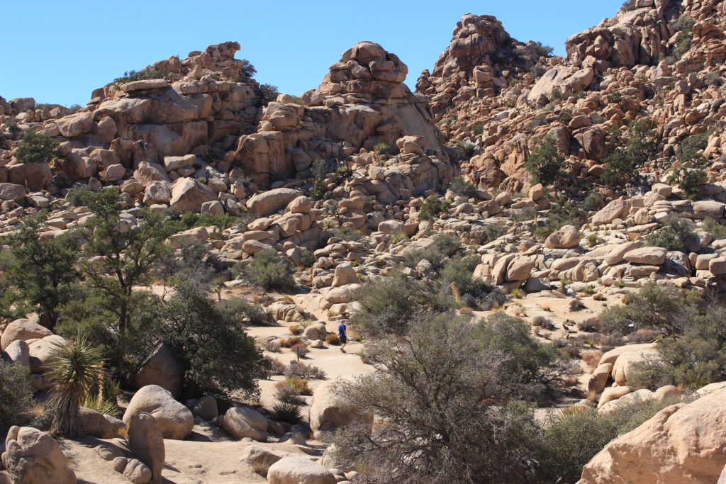
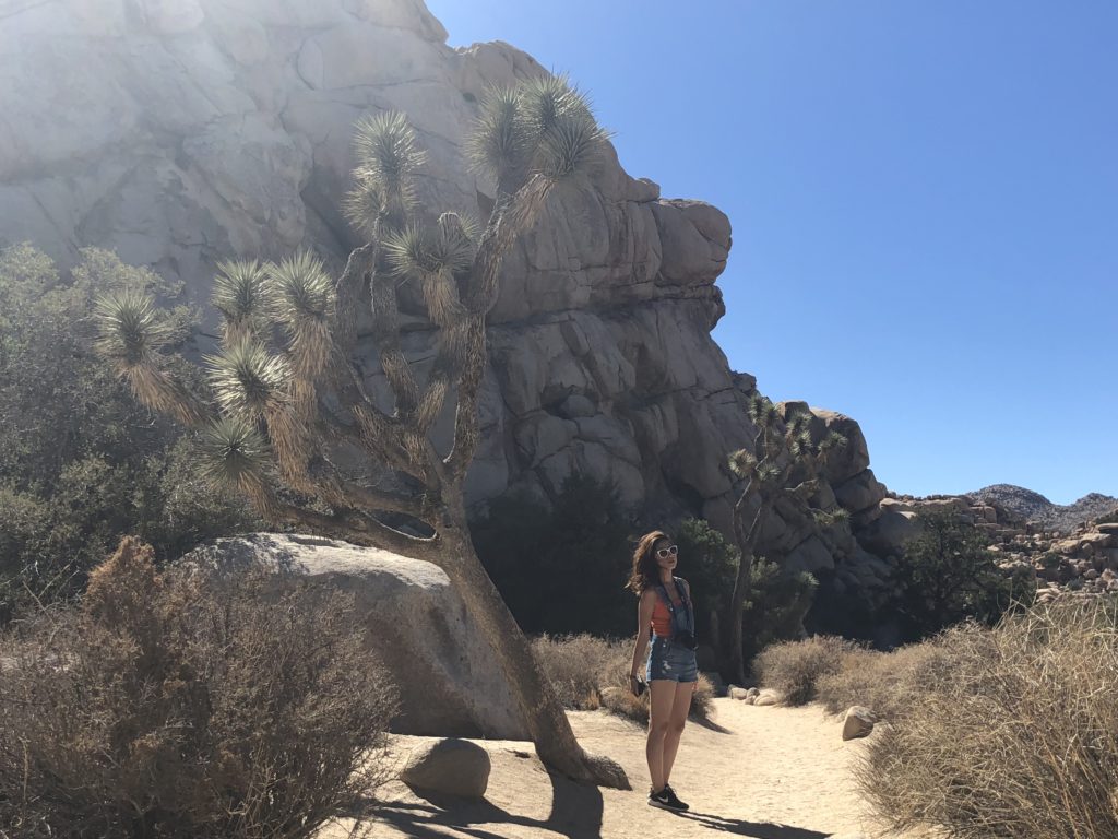
Joshua Tree National Park is a highly-rated rock climbing destination, especially when areas like Yosemite get too cold. This is owing to the large granite rock faces and boulders scattered about, with hard textures and lengthy cracks in them.
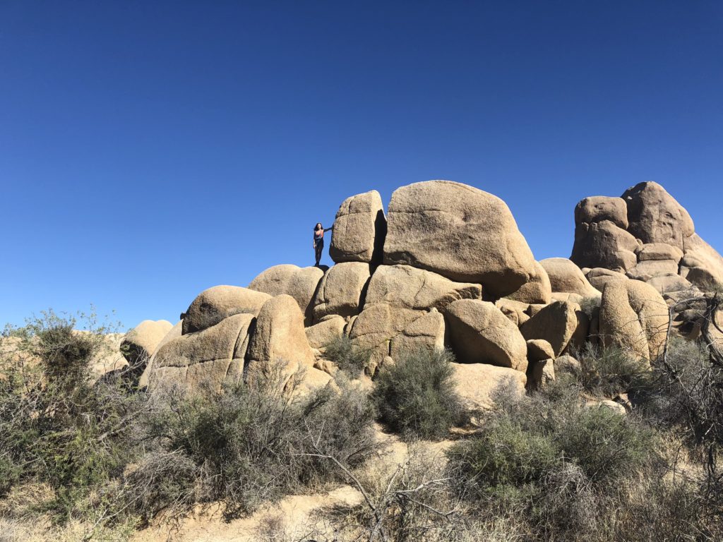
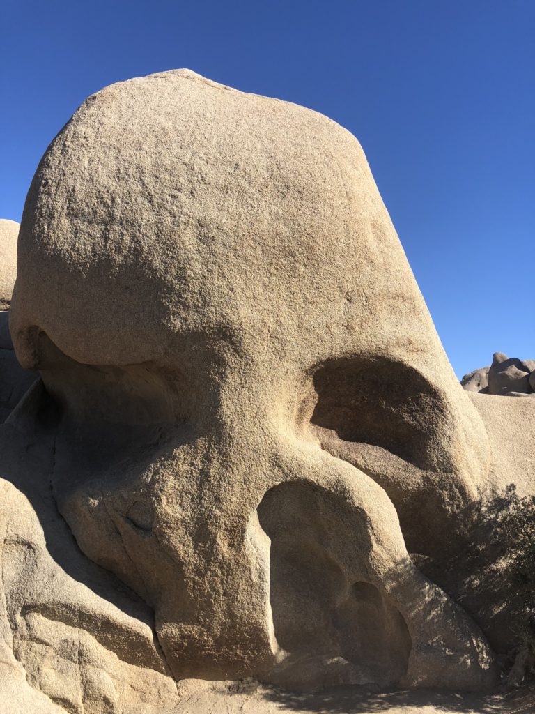
We also found a spooky ‘skull rock’…
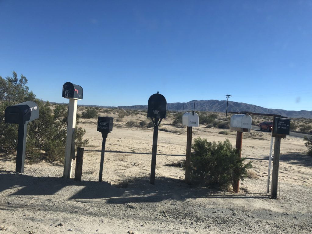
Leaving the park, we headed north through the heart of the Mojave National Preserve.
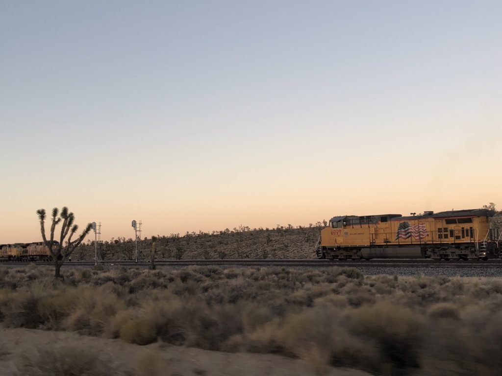
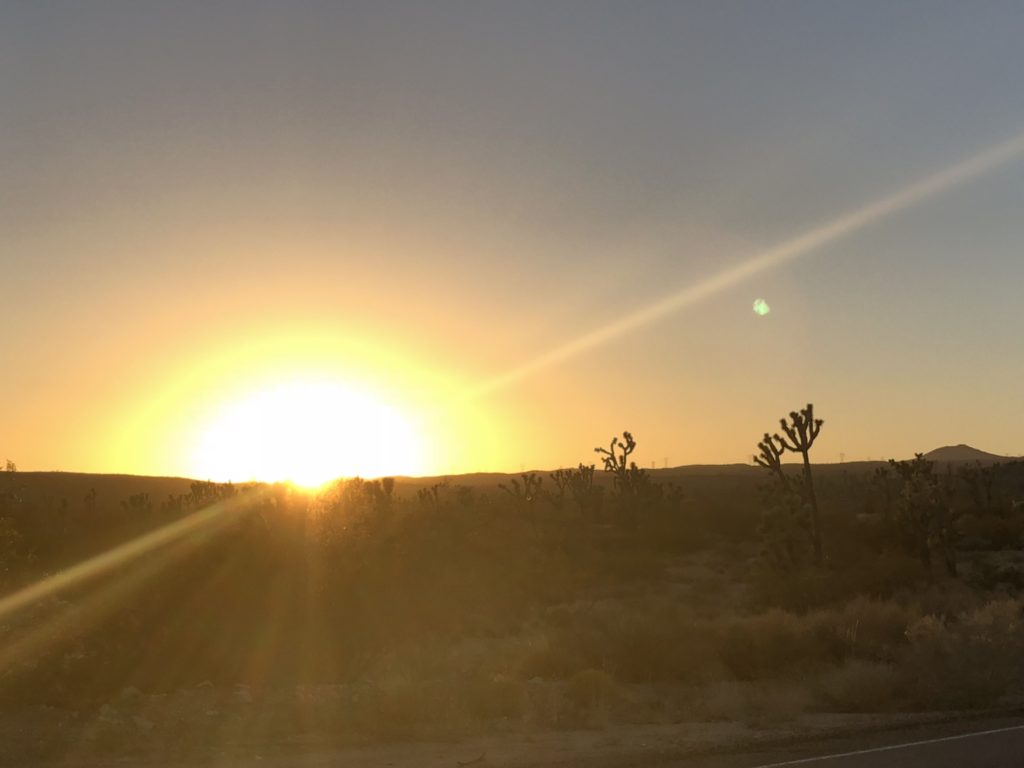
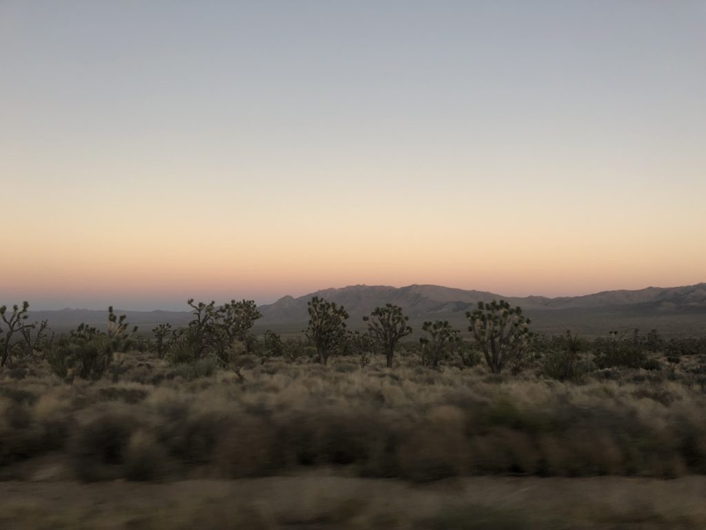
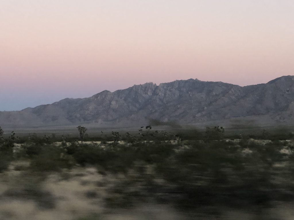
The California leg of our North American adventure was coming to a close. Our spirits renewed, and with the sun setting in the west, we crossed the California-Nevada border with our sights set on taking down the house in the City of Lights.

